 Skip to main content
Precision As-Laid Irrigation Mapping & Infrastructure Audits
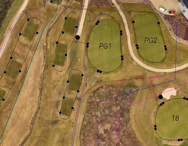
Eliminating guesswork across golf courses, sports turf, and commercial estates with sub-5cm accurate 2D CAD linework, verified underground pipe paths, and 3D geospatial terrain models.
Why Precise As-Laid Plans Are Essential
Original design schematics rarely represent what contractors actually buried. Years of modifications, forgotten repairs, and buried valves turn routine maintenance into costly exploration.
The Cost of Guesswork
Relying on staff memory or hand-drawn schematics introduces severe operational vulnerabilities to turf management:
- Severe Pipe Strikes: Aeration tines, verti-draining, and trenchers puncturing undocumented mains.
- Lost Solenoids & Valves: Hours wasted probing and digging up fairways looking for buried valve boxes.
- Hydraulic Imbalance: Uneven sprinkler pressure caused by unrecorded changes to pipe diameters.
- Loss of Institutional Knowledge: When your course manager or technician leaves, your system records leave with them.
The Vantage Solution
We generate a verifiable, georeferenced digital twin of your physical irrigation infrastructure accurate to sub-5cm:
- Definitive Asset Records: Exact coordinates for every rotor, valve box, decoder joint, and mainline route.
- Open-Trench Pre-Cover Audits: Complete aerial photogrammetry before pipes are backfilled underground.
- Plug-and-Play CAD Files: Directly import clean DWG and Shapefiles into your course management software.
- Elevation Modelling: 3D elevation contours showing head pressure variances and surface drainage paths.
What We Map: Every Hardware Component
From visible surface turf hardware to freshly installed open-trench routes, we digitise every link in your hydraulic and electrical chain.
Rotors & Sprinkler Arcs
Sub-5cm positioning of all greens, tees, and fairway sprinkler heads. Arc coverage radius, nozzle specs, and swing-joint placements mapped in clean CAD blocks.
Valves & Isolation Chambers
Exact GPS coordinates of every solenoid valve box, quick-coupling point, air release valve, and manual gate valve—ensuring you locate them instantly beneath turf thatch.
Pre-Cover Pipe Networks
High-resolution drone passes over open trenches before backfill. Mainlines, sub-mains, and laterals recorded in real space with true joint, tee, and bend positions.
2-Wire Paths & Cables
Tracing signal wire runs, decoder connections, grounding rods, and electrical supply paths. Pinpointing underground cable junctions to eliminate communication faults.
Pump Stations & Storage
Pump houses, intake manifolds, filtration banks, storage tanks, and irrigation lake perimeter levels accurately referenced to ordnance benchmarks.
3D Surface & Elevation
Digital elevation models (DEM) delivering slope contours across greens and fairways. Essential for head pressure balancing and natural runoff analysis.
Aerial Orthomosaic vs CAD Vectorisation
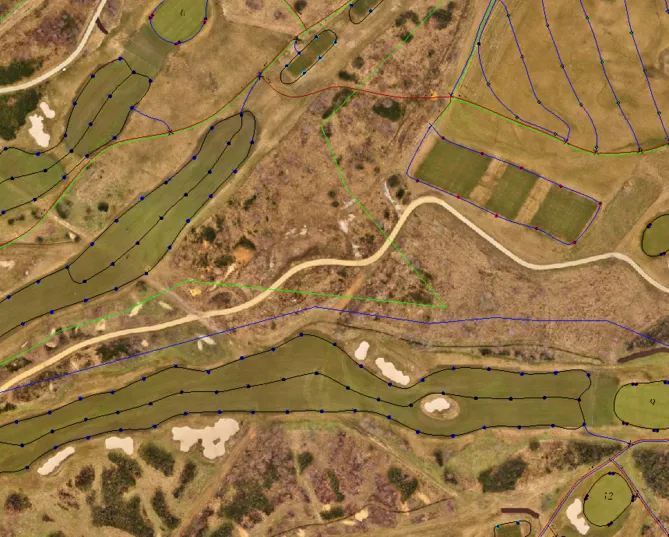
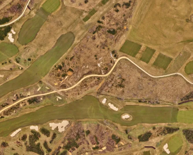
Slide horizontally to see how sub-5cm aerial photogrammetry is digitised into structured 2D CAD linework, identifying every valve box, pipe path, and rotor arc.
Deliverables & Technical Formats
We export clean, structured datasets ready for direct integration into your AutoCAD software, GIS packages, or handheld tablet viewers.
| Deliverable Package | Technical Description | File Formats | Target Applications |
|---|---|---|---|
|
2D CAD As-Laid Plans
| Layered vector drawings containing colour-coded pipe diameters, valve types, rotor nozzle callouts, and electrical decoder paths. | .DWG .DXF .PDF | AutoCAD, BricsCAD, Toro Lynx, Rain Bird Cirrus, site printing. |
|
Sub-5cm Orthomosaics
| High-resolution, georeferenced photographic aerial maps accurate to sub-5cm, providing real-world turf context behind your irrigation lines. | .GeoTIFF .KMZ | Google Earth Pro, GIS spatial layers, mobile tablet inspections. |
|
GIS & Web Spatial Layers
| Intelligent geospatial data layers linking physical coordinates to asset attributes (installation year, pipe size, valve manufacturer). | Shapefile (.SHP) GeoJSON | QGIS, ArcGIS Online, cloud facilities management dashboards. |
|
3D Elevation Models (DEM)
| High-density digital elevation surfaces and 3D point clouds displaying elevation contours for pressure drop calculation and runoff study. | .TIF (DEM) .LAS / .XYZ | Drainage analysis, hydraulic simulation, golf design audits. |
The Commercial Value of As-Laid Accuracy
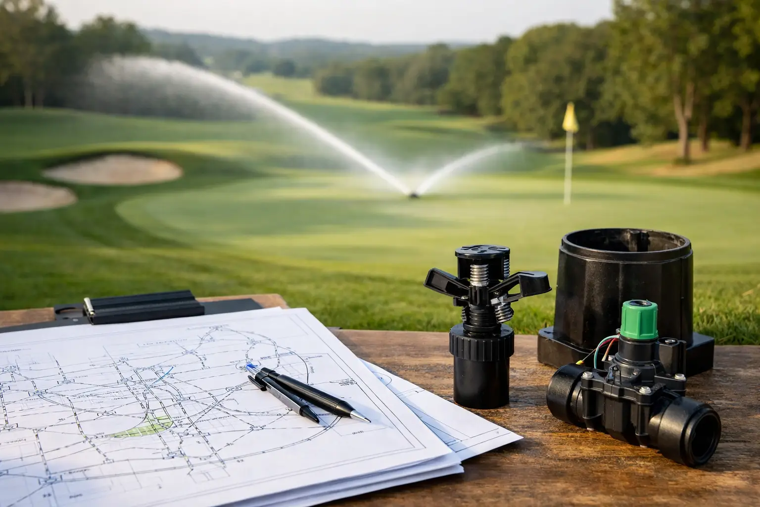
Professional geospatial mapping protects your biggest subterranean capital investment.
Eliminate Costly Pipe Strikes
Protect against catastrophic puncture strikes during verti-draining, bunker building, or deep aeration by knowing exactly where pipes sit.
Instant Valve Recovery
Locate lost isolation gate valves and solenoids in seconds via handheld GPS or mobile tablet rather than digging exploratory trial pits across fairways.
Balanced Water Distribution
By pairing exact sprinkler coordinates with our 3D terrain elevation models, your irrigation team can diagnose pressure losses and eliminate dry spots.
Future-Proof Club Records
Leave a permanent, professional digital archive for upcoming greenkeeping teams, club committees, and future renovation contractors.
The 4-Step Mapping Process
How Vantage Imagery delivers precision geospatial records from initial site setup to final CAD handover.
Survey Control
We deploy high-precision RTK GNSS ground base stations and established control markers across the facility to ensure sub-5cm positional absolute accuracy.
Aerial & Trench Capture
High-resolution drone photogrammetry passes document the entire site terrain, surface hardware, or open trenches prior to contractor backfill.
CAD Vectorisation
Our geospatial technicians process orthomosaics, extracting vector paths, identifying valve types, and generating layered CAD infrastructure models.
Handover & Integration
Delivery of completed 2D/3D DWG, DXF, GeoTIFF, and Shapefiles, accompanied by guidance on loading data directly onto course management tablets.
Request an As-Laid Plan Estimate
Whether you require a retrospective audit of an existing golf course or open-trench documentation of a new installation, contact Frazer directly to discuss your site specifications.
