 Skip to main content

Large Land Survey for Smarter Site Decisions

A large land survey provides centimetre-accurate terrain, drainage and asset data, helping estates, golf courses and projects plan with confidence well.
Topographic Land Survey for Better Site Decisions

See how a topographic land survey delivers centimetre-accurate terrain, drainage and asset data for smarter golf course and site planning across the UK.
Site Logistics Visual Management for Safer Builds

Site logistics visual management turns survey-grade aerial data into clear plans for access, storage, safety and change control across active projects.
Drone Topographic Survey for Smarter Course Planning

A drone topographic survey delivers centimetre-accurate terrain data for golf course drainage, irrigation, design, maintenance and investment decisions.
Large Topographic Survey for Complex Sites

Plan a large topographic survey with centimetre-accurate drone data, deliverables and practical insight for golf courses, estates and construction sites.
Fairway Moisture Mapping Results That Drive Action

Fairway moisture mapping results turn hidden wet and dry patterns into practical irrigation, drainage and turf-management decisions for golf course teams.
Construction Site Mapping for Smarter Project Control

Construction site mapping gives project teams centimetre-accurate surveys, faster progress visibility and dependable data for safer, better site decisions.
Golf Irrigation Software Needs Better Mapping

Golf irrigation software works best when it starts with accurate mapping. See how survey-grade aerial data improves control, planning, and water use daily.
Construction Site Health and Safety Site Map

A construction site health and safety site map gives teams a current view of hazards, routes, welfare and emergency controls before each shift begins daily.
Construction Photogrammetry for Better Site Control
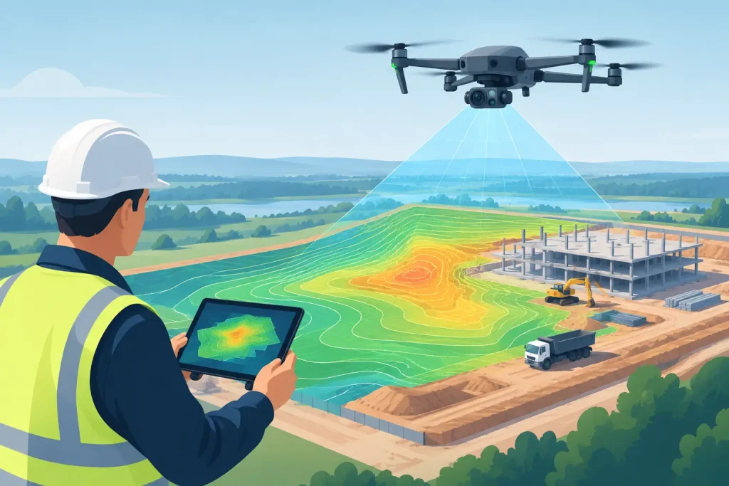
Construction photogrammetry delivers accurate maps, models and progress data, helping UK project teams plan, verify work and control site risk confidently.
