Golf Course Remapping Project Example in Practice

See how a golf course remapping project example turns outdated plans into centimetre-accurate data for irrigation, drainage and maintenance planning work.
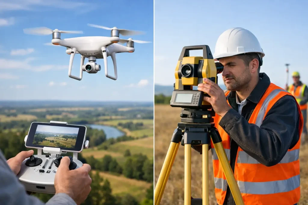
Drone Survey Versus Total Station for Golf Courses

Drone survey versus total station: compare accuracy, speed and cost to choose the right surveying method for golf course planning and asset management.
Drone Surveying for Smarter Golf Course Decisions
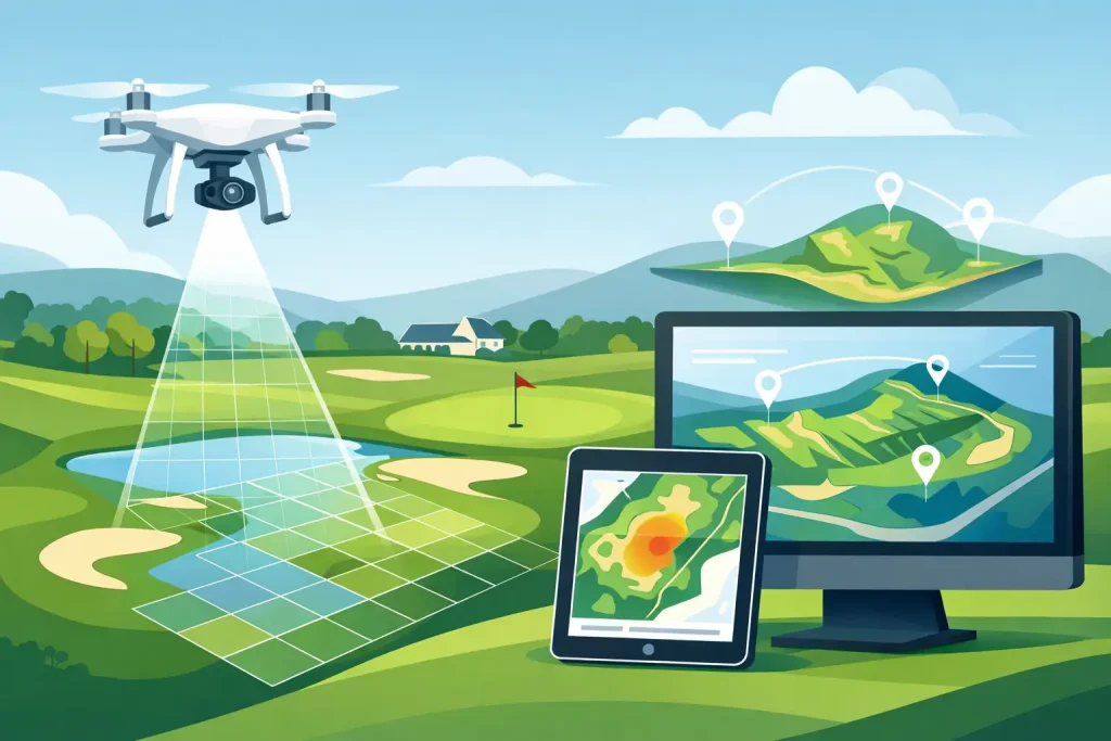
Drone surveying gives golf course teams centimetre-accurate mapping, clearer asset visibility and practical data for irrigation, drainage and planning.
Best Drone Outputs for Irrigation Planning

Choose the best drone outputs for irrigation planning, from accurate terrain models to irrigation maps and plant health data for better decisions on site.
Crop Yield Mapping With Drones for Better Decisions

Crop yield mapping with drones gives land managers accurate evidence to target inputs, assess crop performance and plan the next season with confidence.
Drone Surveying Trends 2026 for Smarter Sites

Drone surveying trends 2026 are reshaping golf, construction and estates with survey-grade data, faster decisions and clearer asset management nationwide.
Practical Guide to Drone Photogrammetry Outputs
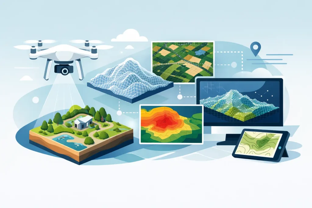
Guide to drone photogrammetry outputs for golf courses: understand orthomosaics, terrain models and data that improves maintenance decisions on every site.
How Golf Clubs Map Bunkers with Drone Surveys

See how golf clubs map bunkers using drone surveys, photogrammetry and survey-grade data for maintenance, renovation, daily decisions and course planning.
Who Needs Aerial Utility Overlays on Site?

Who needs aerial utility overlays? Learn how precise drone mapping helps golf courses, estates and project teams manage buried assets with confidence.
Drone Survey vs Land Survey: Which Is Right?
Compare drone survey vs land survey for golf courses and sites. See where each method delivers accuracy, speed, detail and better project decisions on site.