What Does a Topographical Survey Show on Site?
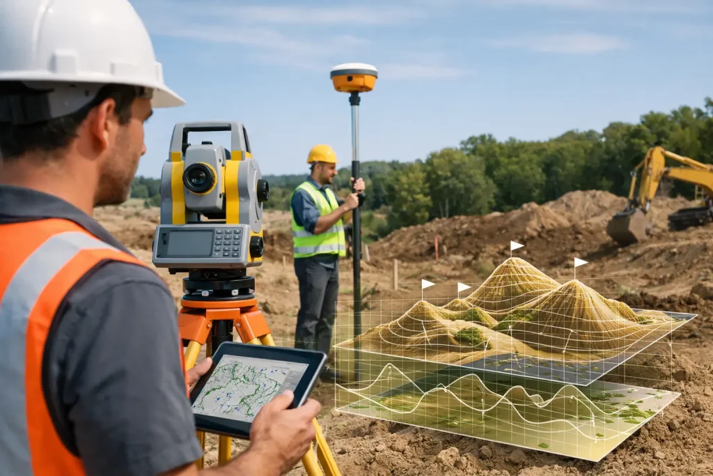
Learn what does a topographical survey show, from levels and contours to drainage, features and boundaries, and how accurate data guides land decisions.
Can Drones Find Drainage Issues on Golf Courses?
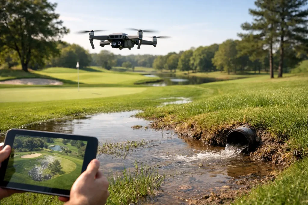
Can drones find drainage issues? Learn how aerial mapping reveals wet areas, failed drains and surface-flow risks for smarter golf course maintenance.
How to Audit Golf Drainage for Better Play
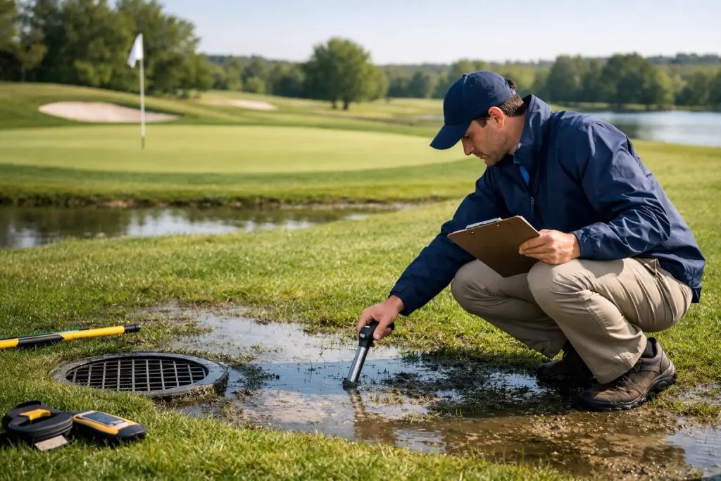
Learn how to audit golf drainage through site evidence, mapping and survey data to target failures, protect turf and plan investment with confidence.
How Contractors Track Site Progress Accurately

Learn how contractors track site progress with drone surveys, site records and clear reporting to control risk, verify work and keep projects on track.
Building Site Monitoring That Keeps Projects Moving

Building site monitoring gives project teams accurate aerial progress data, inspections and clear evidence for decisions, reporting and programme control.
The Future of Golf Course Mapping in Practice

The future of golf course mapping will combine drone surveys, live asset records and plant-health data to improve decisions, budgets and course care work.
Do You Need Irrigation As-Laid Plans for Golf?
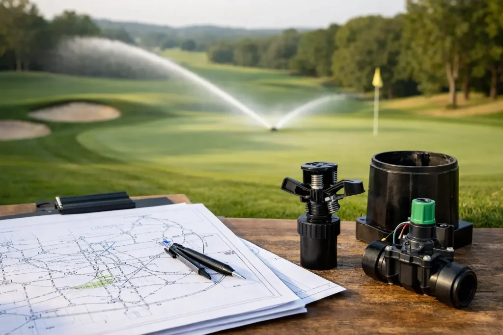
Do you need irrigation as-laid plans? Learn how accurate mapping protects buried assets, speeds repairs and supports smarter golf course management daily.
Choosing a Golf Course Survey Company UK
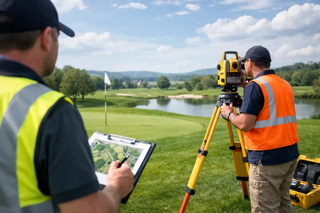
Choosing a golf course survey company UK? Learn what accuracy, outputs and golf-specific expertise really mean for drainage, irrigation and planning.
The Future of Site Inspections

The future of site inspections is faster, sharper and more data-led, helping teams cut delays, improve accuracy and act with confidence.
Crop Monitoring for UK Farming That Works

Crop monitoring for UK farming gives growers clearer field intelligence, earlier issue detection and better decisions on inputs, timing and yield.