
Best Drone Survey Deliverables for Golf Courses

Choose the best drone survey deliverables for golf courses, from accurate terrain models to drainage, irrigation and turf-health data for better decisions.
Topographic Aerial Survey for Smarter Course Plans

See how a topographic aerial survey gives golf and land managers centimetre-accurate terrain data for drainage, irrigation and site planning decisions.
Interpreting Aerial Survey Data for Better Decisions

Interpreting aerial survey data turns drone captures into clear decisions on drainage, irrigation, turf health and course planning with daily confidence.
Use Prescription Maps and Save Money on Your Course

Use prescription maps and save money by applying water, fertiliser and treatments precisely where your golf course needs them most, cutting waste reliably.
Drone Mapping Versus LiDAR for Site Surveys
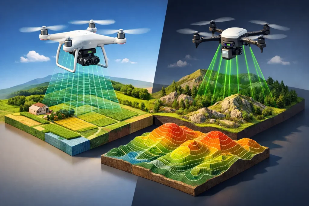
Drone mapping versus LiDAR explained for golf courses, construction and estates: compare accuracy, vegetation, cost and the right survey output choice.
How Often Should Sites Be Photographed for Better Decisions

Learn how often should sites be photographed for accurate mapping, condition monitoring and project records, with a practical schedule across UK estates.
Top Irrigation Mapping Benefits for Golf Courses

See the top irrigation mapping benefits for golf courses, from faster fault finding and repairs to better water control, planning and asset visibility.
Golf Course Contours That Shape Better Decisions

Golf course contours reveal how water, machinery and play move across a site, giving UK clubs accurate data for drainage, irrigation and planning work.
How to Identify Turf Stress Patterns Early

Learn how to identify turf stress patterns with precise aerial data, helping golf teams target irrigation, drainage and maintenance before turf declines.
Multispectral Imagery Versus NDVI for Golf Courses
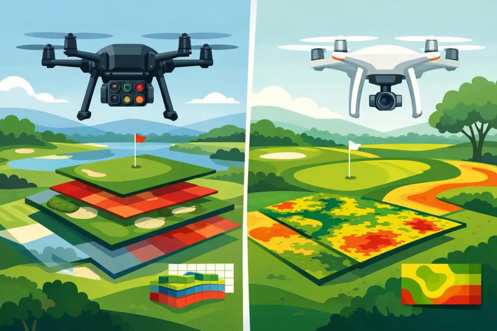
Compare multispectral imagery versus NDVI for golf courses and learn which data supports earlier turf diagnosis, targeted action and resource planning.