 Skip to main content
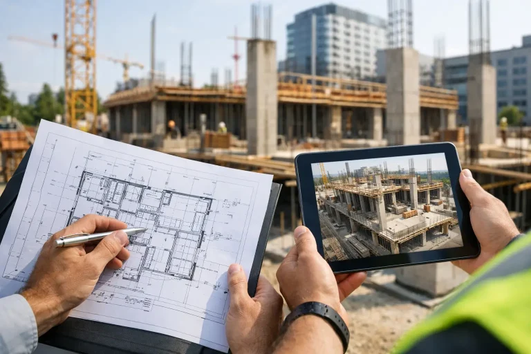
A poured slab that sits a few centimetres out, a drainage run installed off line, a retaining edge that drifts from the approved layout – small deviations on site rarely stay small for long. When you compare construction sites directly to architects plans using current aerial data, you move from guesswork and delayed discovery to fast, visual verification. That matters because the earlier a discrepancy is identified, the cheaper and easier it is to correct.
For project managers, architects, consultants and commercial clients, the real challenge is not simply capturing what a site looks like. It is proving whether what has been built matches the design intent, and doing so in a format that is clear enough for decisions and accurate enough to rely on. This is where drone surveying and photogrammetry have become far more than progress photography.
Why compare construction sites directly to architects plans?
Traditional site checks still have their place. Engineers walk the site, contractors mark up drawings, and surveyors confirm critical positions. But on active projects, those methods can be slow to repeat across large or changing areas. They also tend to focus on selected points rather than the full picture.
When you compare construction sites directly to architects plans with survey-grade drone outputs, you gain a current spatial record of the site that can be reviewed against the approved design. Orthomosaics, elevation models and measured mapping create a shared visual reference. Instead of debating whether a feature “looks right”, teams can check location, alignment, footprint and progress against the plan.
That has practical value at several stages. In early groundworks, it helps confirm cut and fill areas, access routes and service corridors. During structural works, it supports checks on layout, levels and sequencing. Later, it can be used to verify hard landscaping, drainage features, roof areas and external finishes. The exact benefit depends on the project, but the principle is the same – better visibility leads to better control.
What this process actually looks like on a live project
The phrase can sound more complicated than it is. In practice, the process starts with capturing the current site using a planned drone survey. Images are collected systematically, processed through photogrammetry software and turned into mapped outputs with measurable accuracy. Those outputs can then be compared against architects plans, CAD layouts or other design files.
The strength of this approach is that it gives teams a current, scalable record rather than a handful of isolated photographs. A top-down orthomosaic is often the most immediately useful layer because it shows the entire site in one consistent, measurable image. Overlaying this against design information allows users to assess whether built elements sit where they should.
Where greater detail is needed, 3D models and digital surface data add another layer of insight. These are particularly useful when topography, stockpiles, embankments or surface gradients affect compliance with the design. If a project involves drainage, attenuation or external works, those details matter more than many clients first realise.
The difference between visual comparison and measured verification
Not every site comparison exercise needs full survey tolerance. Sometimes a client simply wants a reliable visual check to understand how works are tracking against the approved concept. That can be enough for stakeholder reporting, contractor coordination or early-stage issue spotting.
However, there is an important distinction between a visual overlay and a measured comparison. A visual comparison may highlight that a road edge or foundation line appears offset from the plan. A measured workflow goes further by quantifying that offset and placing it in a usable mapping environment. The right approach depends on what decision needs to be made next.
If the question is, “Has progress reached the expected stage?” a visual comparison may be sufficient. If the question is, “Is this element within tolerance, and do we need remedial work?” then accuracy becomes non-negotiable. For commercial projects, that difference can affect programme, cost and contractual clarity.
Where drone mapping adds the most value
Drone mapping is especially effective on sites where scale, access or pace make traditional monitoring inefficient. Large footprints benefit because one capture can cover extensive ground quickly. Complex external works benefit because aerial perspective reveals relationships that are harder to see from ground level. Fast-moving projects benefit because repeat surveys can be carried out at intervals that support active management.
It is also useful where multiple stakeholders need the same version of the truth. Architects, principal contractors, clients and consultants often work from different information streams. Current aerial mapping provides a common reference point. That reduces ambiguity, which in turn reduces wasted time.
There is a further advantage in record keeping. Construction disputes often turn on timing – what was built, when it was built, and whether it matched what had been agreed at that moment. Time-stamped aerial survey outputs can support a far clearer project record than ad hoc site photos gathered from phones and email chains.
Compare construction sites directly to architects plans without slowing the programme
One concern sometimes raised is that more checking means more delay. In reality, the opposite is often true when the workflow is set up properly. A scheduled aerial survey can capture the current condition of the site quickly and safely, with minimal disruption to live operations. Processing then turns that capture into outputs that can be reviewed by the project team without waiting for extensive manual site measurement in every area.
This does not replace all conventional surveying. Critical set-out and compliance checks still require the right survey methods on the ground. But drone data complements those activities by improving coverage and helping teams decide where closer investigation is actually needed. That makes site verification more targeted and more efficient.
For clients managing cost and programme pressure, that matters. It is far better to inspect a highlighted issue area because mapped data suggests a discrepancy than to discover weeks later that external works, levels or installed assets need rework across a much wider section.
Common use cases and where caution is needed
The strongest use cases tend to involve footprint checks, progress validation, earthworks review, drainage planning, roof inspections and external coordination. If a building extension, compound, road alignment or service trench route needs to be assessed against the design, aerial data can provide quick and persuasive clarity.
That said, there are limits. Dense cover, internal areas and features hidden beneath structures cannot be verified from an aerial survey alone. Weather, access restrictions and programme timing can also affect capture quality. On very tight tolerance tasks, drone outputs should sit alongside, not instead of, site survey controls and professional interpretation.
It also depends on the quality of the original plans. If the design information is outdated, incomplete or poorly coordinated, comparing the site against it will only expose that confusion more clearly. The technology cannot fix flawed inputs. What it does do exceptionally well is make mismatches visible.
What commercial clients should look for in a provider
If the goal is to compare construction sites directly to architects plans in a way that supports real decision-making, imagery alone is not enough. The provider needs to understand mapping accuracy, site logistics, data processing and how construction teams actually use outputs.
That means asking practical questions. Are the deliverables suitable for overlay and measurement? Is the capture planned around site conditions and objectives? Can the data be repeated consistently over time? Will the final outputs help a project team act, or just look impressive in a presentation?
The best providers operate as technical partners, not just drone operators. They know the difference between attractive aerial content and actionable aerial intelligence. That distinction is central to how Vantage Imagery approaches precision-led survey work – not as generic footage, but as data that supports operational decisions.
Better site visibility leads to better project control
Construction projects rarely go off track because of one dramatic failure. More often, they drift through a series of small missed checks, assumptions and late discoveries. When teams can compare the live site clearly against the architect’s intent, those small problems are far easier to catch before they become expensive ones.
If you need a cleaner view of progress, alignment and design compliance, aerial mapping offers a practical way to strengthen control without adding unnecessary complexity. The value is not in having more images. It is in having the right evidence, at the right moment, in a format the whole team can use.
