
Drone Utility Tracing Alternatives for Sites
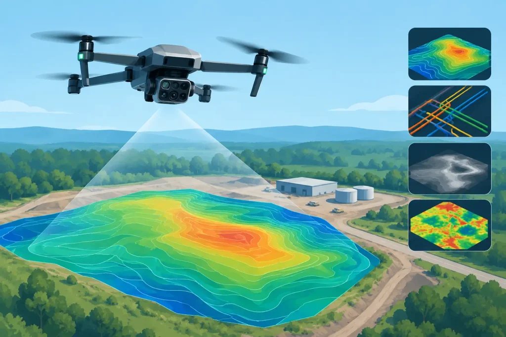
Compare drone utility tracing alternatives for golf courses and estates, from GPR and cable avoidance tools to survey-grade aerial mapping, utility records.
When to Map Irrigation Pipes on a Golf Course
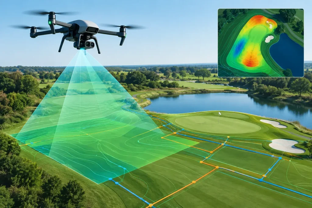
Know when to map irrigation pipes on a golf course to prevent costly disruption, improve repairs and support precise, efficient water management planning.
Aerial Media for Golf Venues That Earns Its Keep
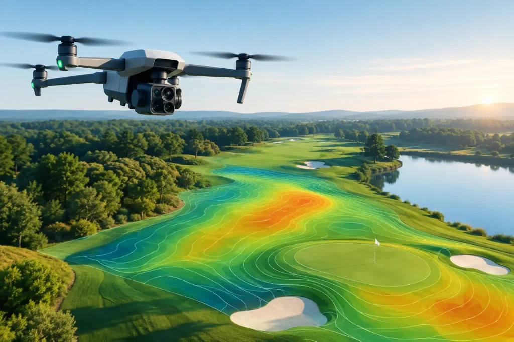
See how aerial media for golf venues supports course presentation, project planning and sharper maintenance decisions with accurate, purposeful visuals.
How to Create Irrigation Zone Maps for Golf
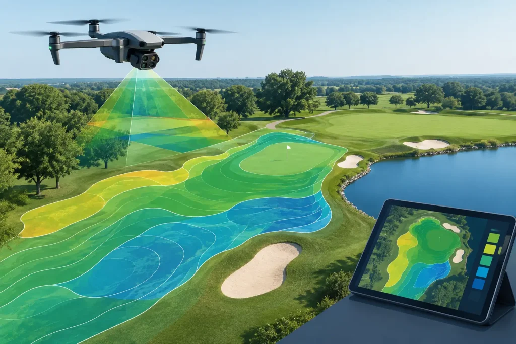
Learn how to create irrigation zone maps from survey-grade aerial data, giving golf teams accurate asset visibility for efficient watering and maintenance.
Drone Videography That Shows a Course Properly
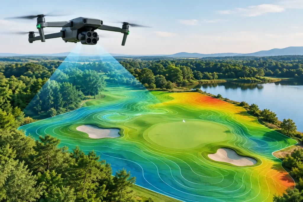
Professional drone videography gives golf clubs a clear, credible view of their course, projects and facilities – built for action, not just attention.
Drone Mapping Trends Reshaping Course Management
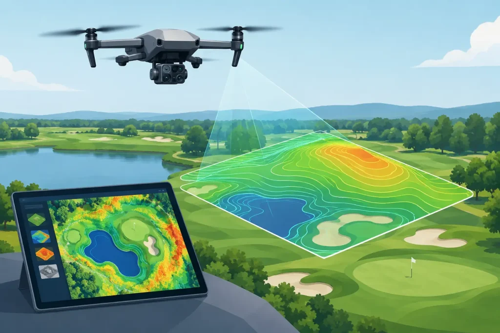
Drone mapping trends are making course data more accurate, connected and useful for irrigation, drainage, turf health and capital planning decisions on site.
Golf Maintenance Technology That Pays Off
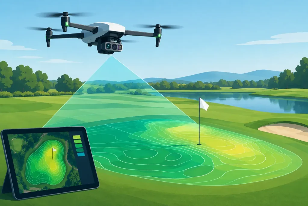
Golf maintenance technology turns aerial data into smarter irrigation, drainage and turf decisions, helping courses control daily costs and protect play.
Essential Site Survey Outputs That Drive Decisions
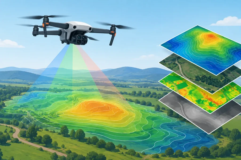
Essential site survey outputs turn drone data into clear plans for drainage, irrigation, maintenance and confident project decisions across your site today.
Golf Asset Management That Improves Decisions

Golf asset management combines precise aerial mapping and data, helping clubs protect infrastructure, target spend and plan work with clear confidence.
UK Golf Course Asset Mapping That Drives Decisions

UK golf course asset mapping gives managers a precise view of irrigation, drainage and infrastructure, helping them plan maintenance accurately on site.