
Turf Analytics for Better Golf Course Decisions

Turf analytics turns drone, mapping and plant-health data into irrigation, drainage and maintenance decisions across every golf course with precision.
How to Plan Golf Renovations with Precision

Learn how to plan golf renovations using accurate survey data, clear priorities and phased delivery to protect play, budgets and long-term course value.
Aerial Photography for Golf Clubs That Works

Aerial photography for golf clubs reveals every hole, hazard and landscape feature, helping teams market the course, plan projects and communicate clearly.
Golf Course Aerial Updates UK That Deliver

Golf course aerial updates UK give managers current, survey-grade imagery for drainage, irrigation, turf health and project planning for better decisions
How to Reduce Roof Maintenance Risks Early

Reduce roof maintenance risks with precise drone inspections that expose defects early, improve planning and protect people, property and budgets alike.
Why Turf Browns: Causes and Course Responses
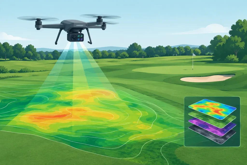
Why turf browns is rarely answered by one factor. Learn how moisture, drainage, disease and data-led inspection reveal the true cause across a course quickly.
Drone Data Formats for Better Course Decisions
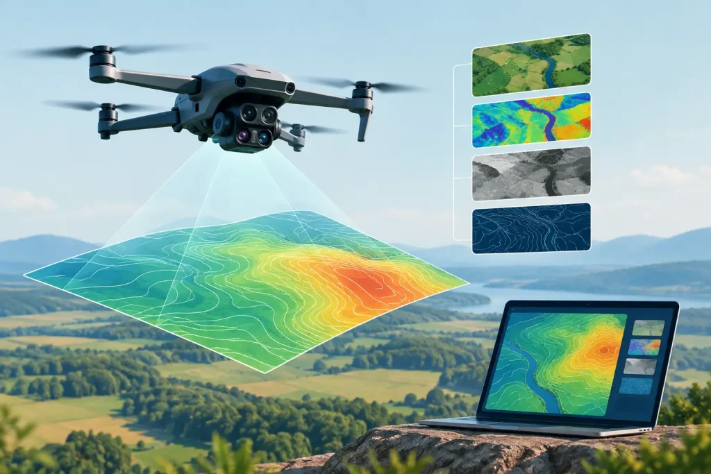
Understand drone data formats for golf course surveys, from orthomosaics to CAD and GIS files, so teams can use accurate mapping with confidence daily.
Golf Analytics That Improves Course Decisions

Golf analytics turns survey-grade aerial data into practical decisions on drainage, irrigation, turf health and long-term course investment plans today.
Construction Drone Review for Better Site Control

Our construction drone review explains which aircraft, sensors and workflows deliver survey data, safer inspections and clearer project control on UK sites.
How to Calculate Golf Earthworks Accurately

Learn how to calculate golf earthworks using survey-grade terrain data, cut-and-fill volumes, and practical checks for efficient course construction projects today.