Golf Course Drone Survey Benefits

A golf course drone survey delivers precise mapping, drainage insight and asset visibility to support better course management and planning.
Drone Laws 2025 UK

As drone technology continues to advance at a rapid pace, staying informed about UK drone laws and regulations in 2025 is crucial for both enthusiasts and professionals
Drone Survey RTK vs PPK Comparison
RTK and PPK are state-of-the-art drone mapping positioning technologies designed to enhance accuracy.
Drones in Construction

The Rise of Drone Surveys in the UK: Transforming Industries with Cutting-Edge Technology
Drone surveys have rapidly gained traction across various industries in the UK, offering unparalleled benefits in terms of efficiency, safety, and data accuracy. Here’s a look at how drone surveys are revolutionizing traditional methods and their applications in different sectors.
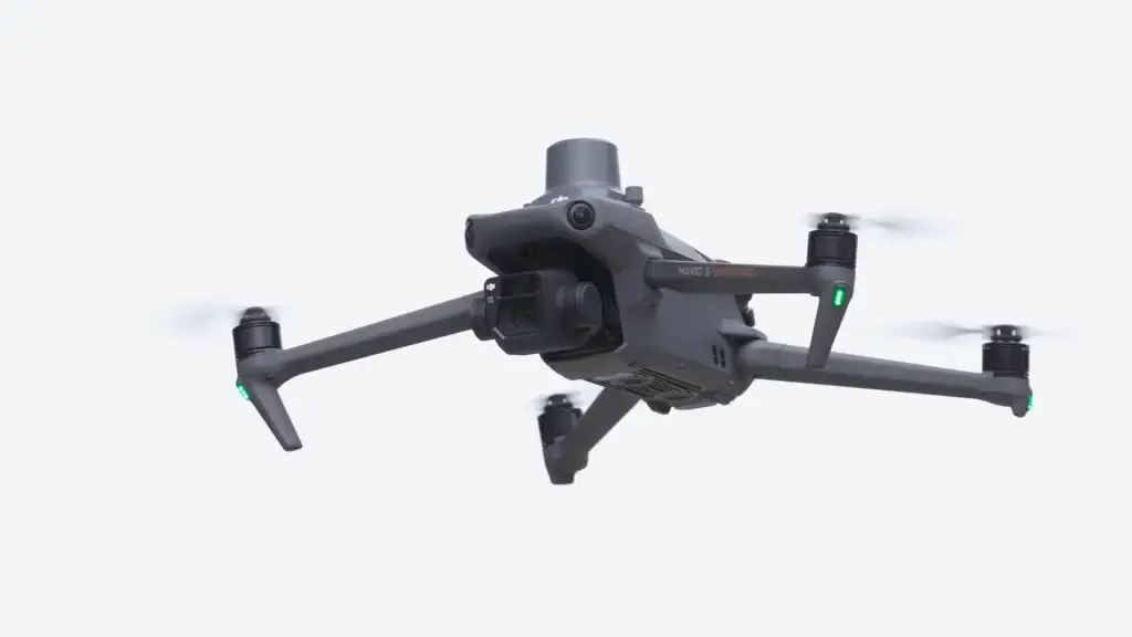
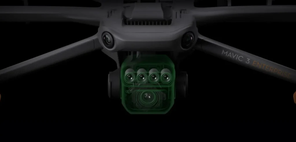
What is a Drone Survey?
A drone survey, also known as an unmanned aerial vehicle (UAV) survey, utilizes drones equipped with high-resolution cameras and sensors to capture aerial data. These drones are remotely controlled and can access hard-to-reach areas, making them an ideal tool for surveying landscapes, infrastructure, and more.
Benefits of using a drone for surveys

The Rise of Drone Surveys in the UK: Transforming Industries with Cutting-Edge Technology
Drone surveys have rapidly gained traction across various industries in the UK, offering unparalleled benefits in terms of efficiency, safety, and data accuracy. Here’s a look at how drone surveys are revolutionising traditional methods and their applications in different sectors.
The Power of Multispectral Drones
The Rise of Drone Surveys in the UK: Transforming Industries with Cutting-Edge Technology
Drone surveys have rapidly gained traction across various industries in the UK, offering unparalleled benefits in terms of efficiency, safety, and data accuracy. Here’s a look at how drone surveys are revolutionizing traditional methods and their applications in different sectors.
What is a Drone Survey?
A drone survey, also known as an unmanned aerial vehicle (UAV) survey, utilizes drones equipped with high-resolution cameras and sensors to capture aerial data. These drones are remotely controlled and can access hard-to-reach areas, making them an ideal tool for surveying landscapes, infrastructure, and more.