Aerial Photography for Golf Courses That Works
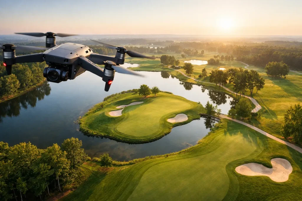
Aerial photography for golf courses delivers clear visuals, asset visibility and survey-ready insight for planning, maintenance and promotion.
Drone Roof Inspection Services Explained
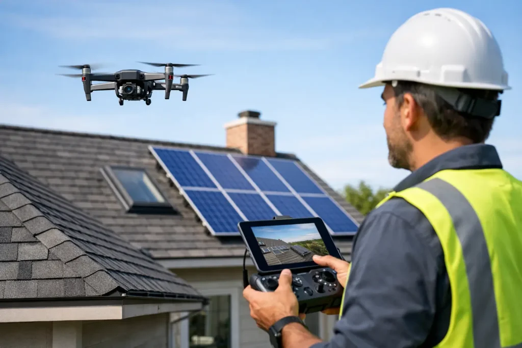
Drone roof inspection services give fast, safe access to accurate roof data, helping commercial teams spot defects early and plan repairs with confidence.
Construction Site Drone Monitoring Explained

Construction site drone monitoring gives faster, safer and more accurate project visibility with survey-grade data for planning, tracking and reporting.
Why a Drone Plant Health Survey Pays

A drone plant health survey reveals turf stress, irrigation issues and disease risk early, helping golf courses act faster with precise, usable data.
Multispectral Turf Analysis That Guides Action
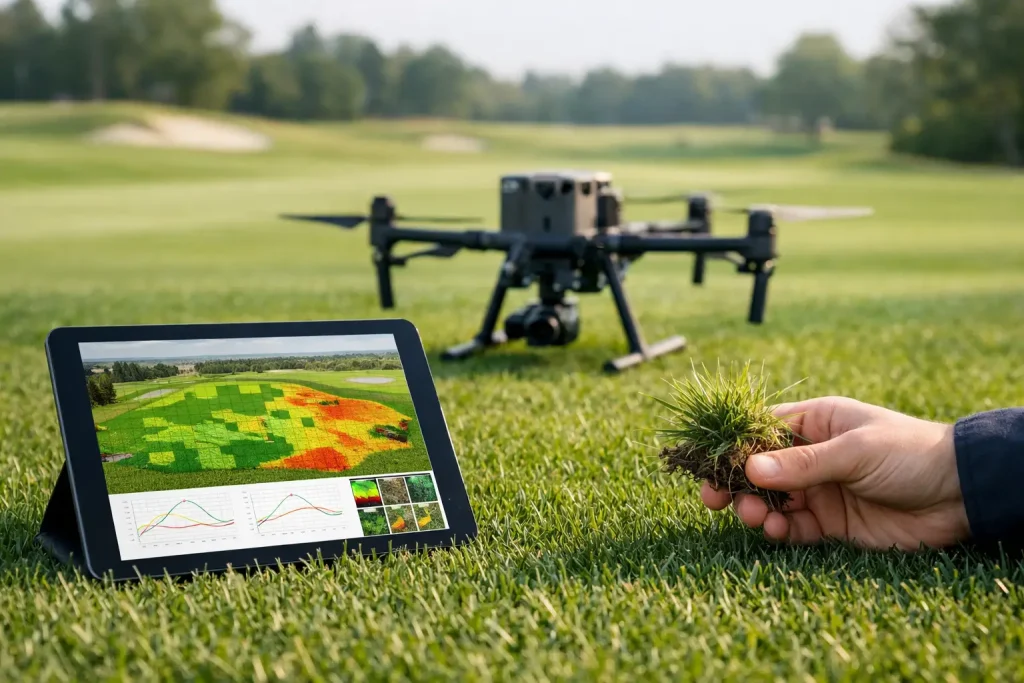
Multispectral turf analysis helps golf courses spot stress early, target irrigation, and plan maintenance with precise, actionable aerial data.
Golf Course Drainage Mapping That Works
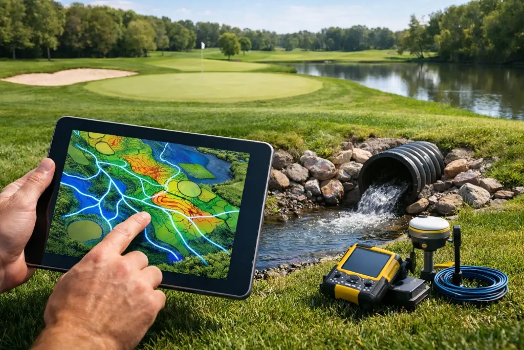
Golf course drainage mapping gives clubs clear, accurate data on pipe runs, outfalls and problem areas to improve planning, maintenance and spend.
Irrigation Mapping for Golf Courses

Irrigation mapping for golf courses gives teams accurate asset visibility, better water control and faster maintenance planning across every hole.
Golf Course Photogrammetry Explained

Golf course photogrammetry turns drone imagery into accurate mapping for drainage, irrigation and planning across every part of a course.
Drone Topographical Survey UK Guide
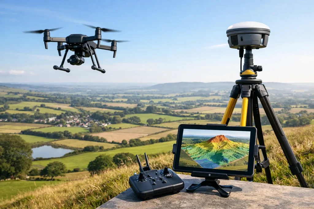
A drone topographical survey UK clients can trust delivers fast, centimetre-accurate mapping for golf, construction and land management projects.
Golf Course Mapping Services That Deliver

Golf course mapping services deliver precise aerial data for drainage, irrigation, assets and planning across UK courses with measurable value.