FAQs
Frequently Asked Questions
Common Questions
Most Popular Questions
Recent Posts


General Information
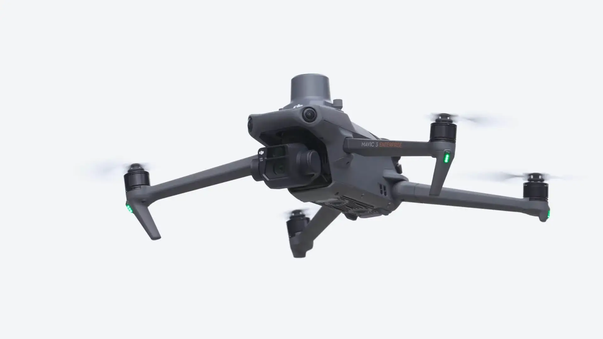
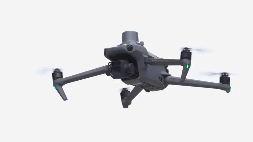
We offer drone surveys, aerial mapping, roof inspections, multispectral surveys, and time-lapse videos, among other services.
Drone Surveys
A drone survey uses UAVs to collect high-precision data for various applications such as land mapping, construction monitoring, and environmental assessments.
Our drone surveys achieve sub-3cm accuracy.
Roof Inspections
Our roof inspections include 2D and 3D measurements, a full PDF report, and high-resolution images.
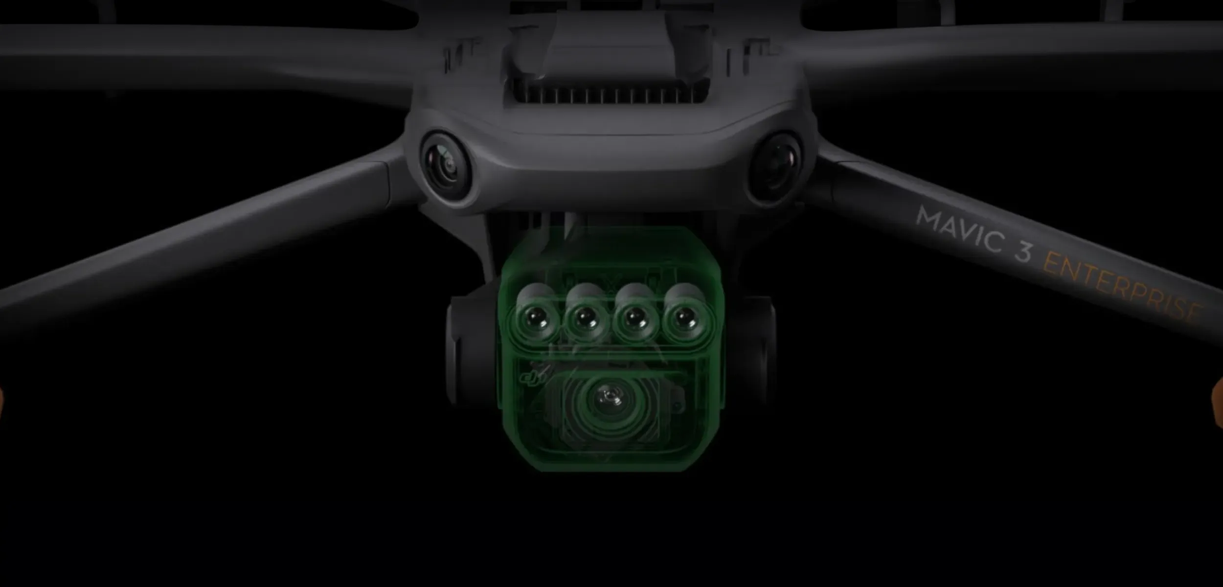
Multispectral Surveys
These surveys are used for plant health analysis, providing shapefiles and prescription maps for agricultural and environmental management.
Pricing and Payments
Pricing varies based on the project scope and specific requirements. Please contact us for a detailed quote.
Project Execution
Project timelines vary; we aim to deliver results efficiently. Contact us with project details for a precise timeframe.
Safety and Compliance
Yes, all our drone operators are experienced and certified.
We adhere to strict safety protocols and comply with all regulatory guidelines to ensure safe operations.