
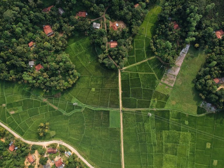
Enhanced Efficiency and Speed
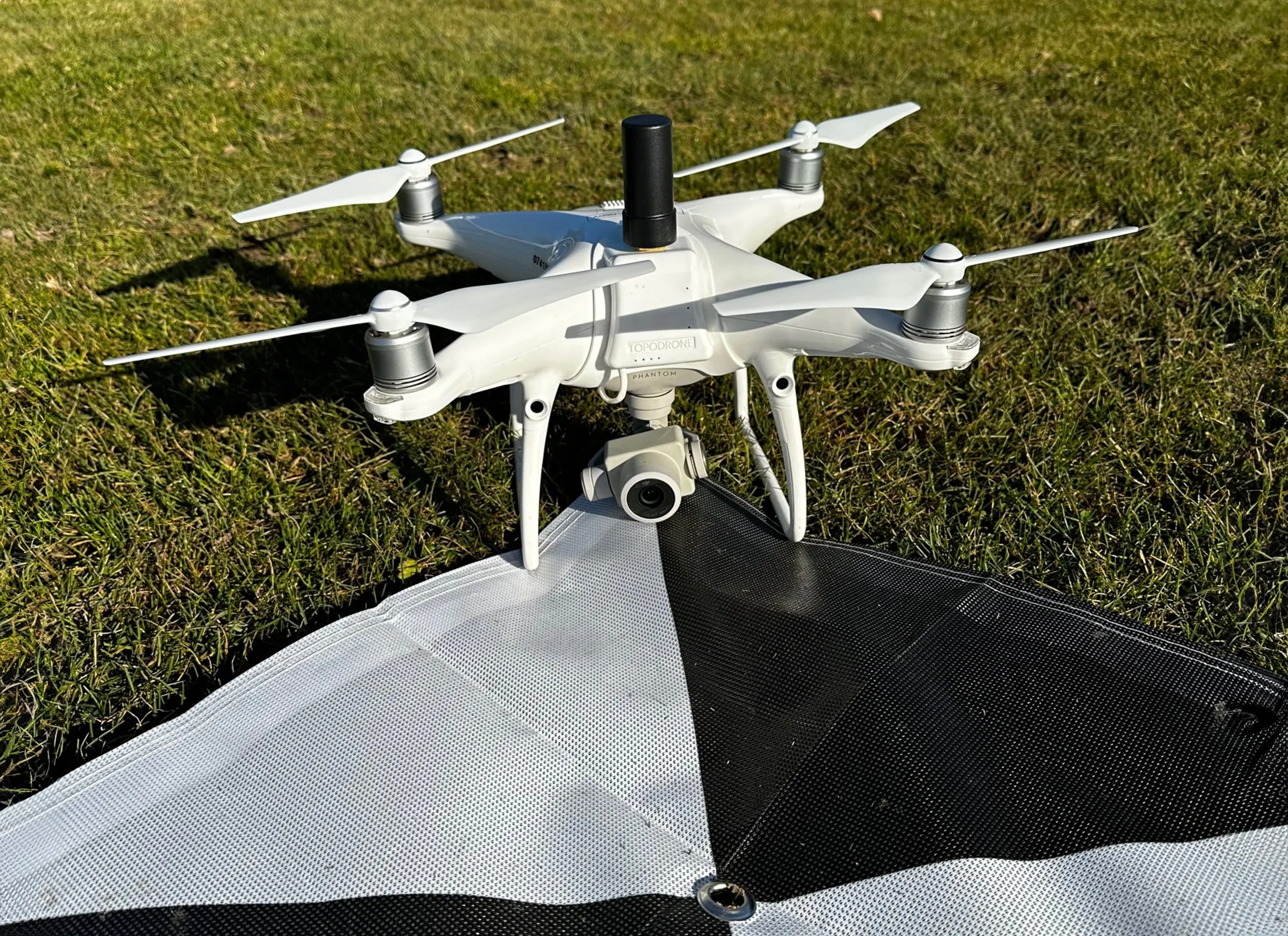
Drone surveys expedite the mapping process by providing rapid data acquisition capabilities. Consequently, with the ability to cover large areas quickly, drones significantly reduce the time required to complete surveys compared to traditional methods. Moreover, a drone can capture data from multiple angles and altitudes, therefore capturing a wealth of information in a single flight. This efficiency enables surveyors to gather accurate and comprehensive data in a fraction of the time, thus expediting project timelines and increasing overall productivity..

Safety and Accessibility
Traditional land surveying often involves working in hazardous or hard-to-reach locations. However, by employing drones, surveyors can consequently eliminate the need for human presence in dangerous areas, such as steep terrains, unstable structures, or remote sites. Thus, this technology enhances worker safety and reduces potential risks associated with challenging surveying conditions. Furthermore, drones can access areas that may be inaccessible or impractical for surveyors on foot, such as dense forests, inaccessible coastlines, or large industrial sites.

Cost-Effectiveness
Drone land surveying offers a cost-effective alternative to traditional methods. By automating the data collection process, drone surveys require fewer personnel and equipment, reducing labour and equipment costs. The rapid data acquisition capabilities and increased efficiency of drones also minimize overall project timelines, leading to cost savings. Furthermore, the accuracy of drone survey data reduces the need for rework, minimizing expenses associated with errors or inaccuracies.
Data Visualization and Analysis
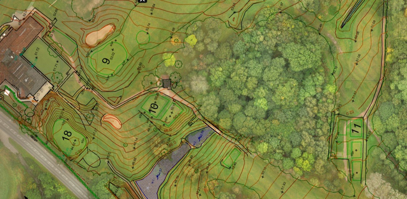
The data collected by drones surveys can be processed and transformed into detailed maps, point clouds, 3D models, and orthophotos. These visual representations provide valuable insights for decision-making, design, and planning processes. By analyzing the survey data, stakeholders can make informed decisions based on accurate, up-to-date information. This helps in optimizing land use, identifying potential issues, and improving project outcomes.