
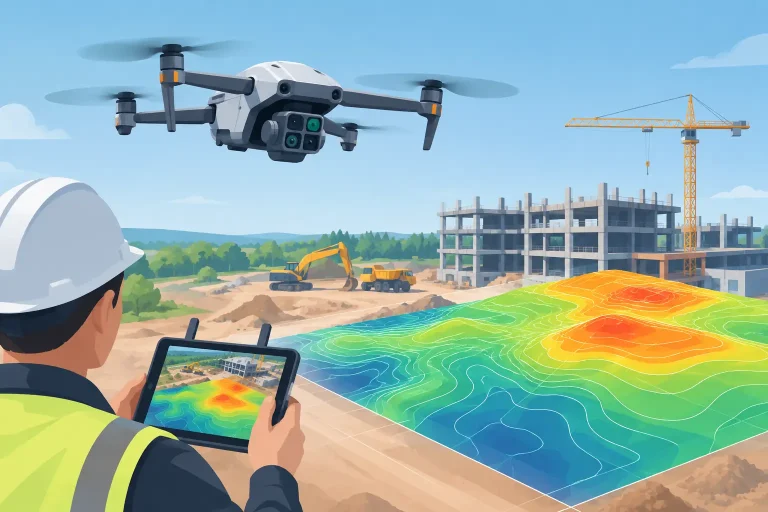
A construction drone earns its place on site when it turns a difficult decision into a clear one. Can the earthworks contractor be paid against verified volumes? Is the drainage run progressing to programme? Has a roof edge, façade or temporary works area changed since last week? A useful construction drone review must assess more than flight time and camera resolution. It must establish whether the aircraft, sensor and processing workflow deliver evidence that a project team can act on.
For construction managers, quantity surveyors, engineers and asset owners, the strongest drone operation is not necessarily the one with the largest aircraft or most impressive promotional footage. It is the one that captures the right data safely, repeats it consistently and produces outputs with a known level of accuracy.
What a construction drone should deliver
Construction sites change quickly, often in areas that are inaccessible, hazardous or costly to survey repeatedly from the ground. Drones can provide a detailed visual record, topographical information, orthomosaic mapping, 3D models and progress imagery without putting a surveyor on unstable ground, scaffolding or live plant routes.
However, an aerial image alone is not a survey. The difference matters when data will inform cut-and-fill calculations, setting-out checks, design coordination, valuations or claims. Survey-grade work needs a planned capture method, suitable ground control or RTK correction, calibrated processing and independent checks against known points. Without these controls, an attractive map may be useful for general orientation but unsuitable for measurement.
The best return comes when each output has a defined operational use. A regular orthomosaic can support site meetings and communicate progress to clients. A digital terrain model can inform earthworks quantities and drainage planning. A high-resolution inspection can identify defects before a contractor is mobilised. The drone is the capture platform; the value sits in the quality, accuracy and usability of the final data.
Construction drone review: the key decision areas
Accuracy starts with the positioning workflow
A drone fitted with RTK or PPK positioning can significantly improve georeferencing, particularly across larger sites where conventional ground control would take time to establish. This does not mean ground control becomes unnecessary in every project. Independent checkpoints remain good survey practice, especially where centimetre-level confidence is required or the terrain contains features that are difficult for photogrammetry to model.
For early-stage site visualisation, a standard GPS workflow may be perfectly proportionate. For volumetric reporting, topographical mapping or integration with design information, an RTK or PPK workflow with properly surveyed control is generally the stronger option. The decision should be driven by the tolerance required, rather than a blanket claim that one method is always sufficient.
Accuracy is also affected by flight height, image overlap, lighting, surface texture and vegetation. Freshly graded soil can survey well, while standing water, dense scrub, highly reflective surfaces and deep shadows require careful interpretation. A competent provider explains these limitations before flight, rather than after delivery.
The right sensor depends on the question
High-resolution RGB cameras remain the most versatile option for construction tracking. They produce clear imagery for progress records, orthomosaics, 3D reality models and visual inspection of roofs, façades, structures and stockpiles. For many projects, this is the correct starting point.
Thermal sensors add value where teams need to investigate heat loss, moisture patterns, roof anomalies or building-envelope concerns. They should not be treated as a stand-alone diagnosis. Thermal results depend on environmental conditions, material properties and an informed inspection method, but they can target further investigation efficiently.
LiDAR has a distinct role on complex terrain, corridors and sites with substantial vegetation. Unlike photogrammetry, it can capture points through gaps in canopy, making it valuable where the ground surface is obscured. Its equipment and processing costs are higher, so it is most appropriate where conventional imagery cannot deliver the required surface model. Multispectral data can also support environmental monitoring or landscape establishment, although it is less central to everyday construction progress reporting.
Consistency matters more than one exceptional flight
A one-off aerial survey gives a snapshot. A planned programme of repeat flights creates a reliable site record. Capturing from comparable heights, routes, camera angles and control points allows meaningful comparison between reporting periods. This is particularly effective for earthworks, infrastructure schemes, housing developments and projects where clients, consultants and contractors need a common view of progress.
Regular capture can expose discrepancies early. A stockpile that appears larger in photographs may prove smaller when calculated against a consistent terrain model. A programme update may show activity in an area, while a comparison map confirms that levels have not moved as expected. Objective evidence improves conversations before issues become formal disputes.
For commercial reporting, dates, coordinate systems and version control matter. Deliverables should be clearly labelled and retained in a way that allows the team to revisit what was recorded at a given stage. This turns drone data into a defensible project record rather than a collection of disconnected images.
Buying a drone or appointing a specialist?
An in-house drone can be effective for frequent visual updates on stable, straightforward sites. It gives the project team immediate access to imagery and may reduce the cost of routine documentation. But the aircraft is only one part of the investment. Operators need appropriate training, operational authorisation, insurance, maintenance procedures, airspace planning, site-specific risk assessments and time to process the results properly.
The hidden cost is often not flying but converting imagery into trustworthy information. Processing large datasets, checking accuracy, managing coordinate systems and presenting outputs for engineers or commercial teams demands specialist capability. If internal staff are primarily needed to manage delivery on site, asking them to become drone pilots and data processors can dilute the intended saving.
A specialist survey partner is often the better route for periodic mapping, complex inspections, survey-grade deliverables or sensitive locations. They can select the appropriate aircraft and sensor for the brief, manage safe operations and provide data in formats that fit the project workflow. This is particularly valuable when results need to integrate with CAD drawings, GIS platforms, design models or quantity calculations.
There is also a blended approach. An internal team may use simple aerial imagery for routine communication, while an external operator carries out baseline surveys, monthly progress mapping, volume calculations and high-accuracy inspections. The division should reflect the consequences of getting the data wrong.
How to assess a drone survey provider
The most useful questions are practical. Ask what accuracy can be expected for the proposed output and how it will be verified. Ask whether the provider will establish or use survey control, what coordinate reference system will be applied, and whether deliverables can be supplied in the formats used by the design and commercial teams.
It is equally sensible to ask about flight planning and safety. Construction sites include changing hazards, cranes, plant movements, public boundaries and restricted airspace. A professional operation should coordinate with the site manager, work around live activities and set clear conditions for safe capture. A quick flight that interrupts operations or creates uncertainty is not efficient.
Finally, assess whether the reporting will answer a real site question. A polished video may be helpful for stakeholder communications, but it should not substitute for measured data where payment, programme or compliance decisions are involved. The strongest providers translate technical outputs into clear evidence: annotated imagery, comparable maps, volumes with stated assumptions and inspection findings that direct the next action.
Where drone data makes the clearest difference
Earthworks are a high-value use case because repeated terrain models can measure change over time and support stockpile or cut-and-fill reporting. Results still depend on a suitable baseline and clear definitions of what is being measured, but the speed of repeat capture can greatly improve visibility.
Roof and façade inspections are another strong application. A drone can inspect elevations, gutters, flashings and difficult access areas without routine reliance on ladders, scaffolding or powered access equipment. It does not eliminate the need for a close-up physical inspection where repair decisions demand it, yet it provides an efficient first assessment and a detailed visual record.
For larger estates and mixed-use developments, aerial mapping can bring construction works, drainage routes, utilities, landscaping and existing assets into one understandable spatial view. This is where precision-led imagery becomes more than progress photography. It helps teams plan access, coordinate work packages and identify the relationship between works on the ground.
At Vantage Imagery Limited, the principle is straightforward: advanced aerial technology should give project teams data they can use with confidence. The right construction drone service does not begin with an aircraft specification. It begins with the decision that needs to be made, the accuracy that decision demands and a capture plan designed to provide a clear answer.
Before commissioning the next flight, define the site question that has been difficult to answer from the ground. That is usually where aerial data delivers its most measurable value.