
Land Survey for Better Golf Course Decisions

A land survey gives golf courses centimetre-accurate terrain, drainage and assets, helping teams plan maintenance, irrigation and projects confidently.
Can Drones Reduce Irrigation Use on Golf Courses?

Can drones reduce irrigation use on golf courses? Learn how precise aerial data identifies stress, leaks and inefficiencies for better water decisions.
Land Drone Survey for Better Site Decisions
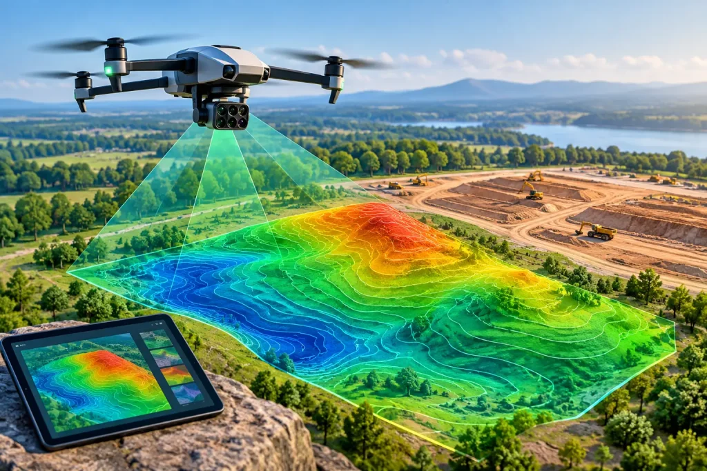
A land drone survey delivers centimetre-accurate maps, models and asset insight, helping sites plan maintenance, works and investment with confidence.
How to Calculate Golf Course Slopes Accurately
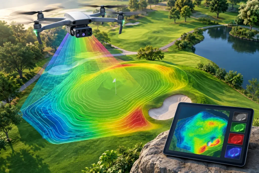
Learn how to calculate golf course slopes with survey-grade data, gradient formulas and mapping outputs that support drainage, irrigation and design work.
Topographic Survey for Smarter Course Management

A topographic survey provides centimetre-accurate terrain and asset data, helping golf courses plan drainage, irrigation and projects with confidence.
Are Drones Accurate for Golf Course Surveys?

Are drones accurate enough for survey-grade mapping? Learn what controls precision, from RTK and ground control to flight planning and clear deliverables.
Golf Course Promotional Video That Sells Experience

A golf course promotional video should show more than views: it should build confidence, attract golfers and support your club’s commercial goals directly.
Crop Health Monitoring for Better Turf Decisions

Crop health monitoring with multispectral drone data helps UK turf teams find stress early, target inputs precisely and protect playing quality reliably.
Crop Health Monitoring for Better Turf Decisions
Crop health monitoring with multispectral drone data helps UK turf teams find stress early, target inputs precisely and protect playing quality reliably.
When to Inspect Commercial Roofs: Key Times

Know when inspect commercial roofs to spot defects early, plan safe maintenance and protect buildings, budgets and business continuity across your estate.