
Drone Survey Versus Laser Scanning Compared
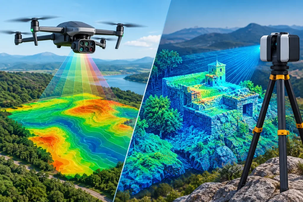
Compare drone survey versus laser scanning for golf courses, construction and estates. See where each method delivers the most useful site data reliably.
What a Topographical Survey Reveals Before Work Starts

A topographical survey provides centimetre-accurate terrain, drainage and asset data, helping golf and land managers plan work with confidence on site.
Choosing the Best Drone Surveys UK Service
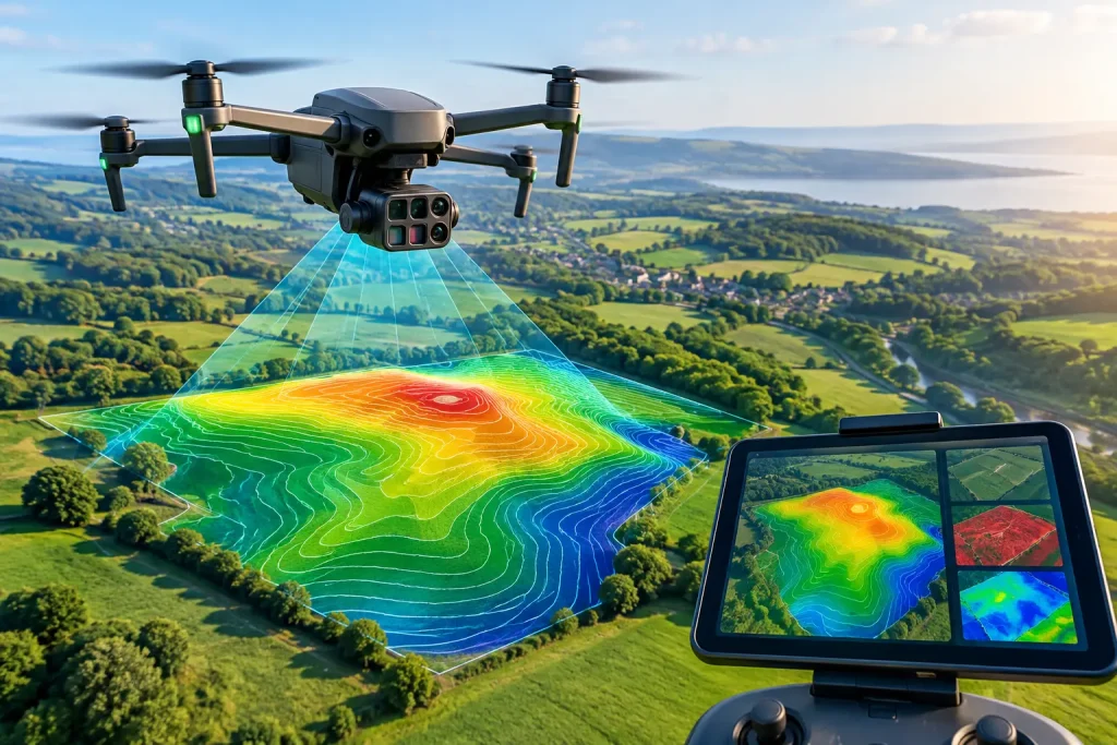
Choosing the best drone surveys UK service means looking beyond images to accuracy, deliverables and data that supports better site decisions every day.
Aerial Topographic Survey for Smarter Site Decisions

An aerial topographic survey provides centimetre-accurate terrain data for golf courses, construction and estates, supporting planning and maintenance.
Drone Photogrammetry vs LiDAR for Surveys

Compare drone photogrammetry vs lidar for golf course surveys, drainage, earthworks and asset mapping, and select the right data for each project site.
Construction Site Monitoring Guide for Better Control
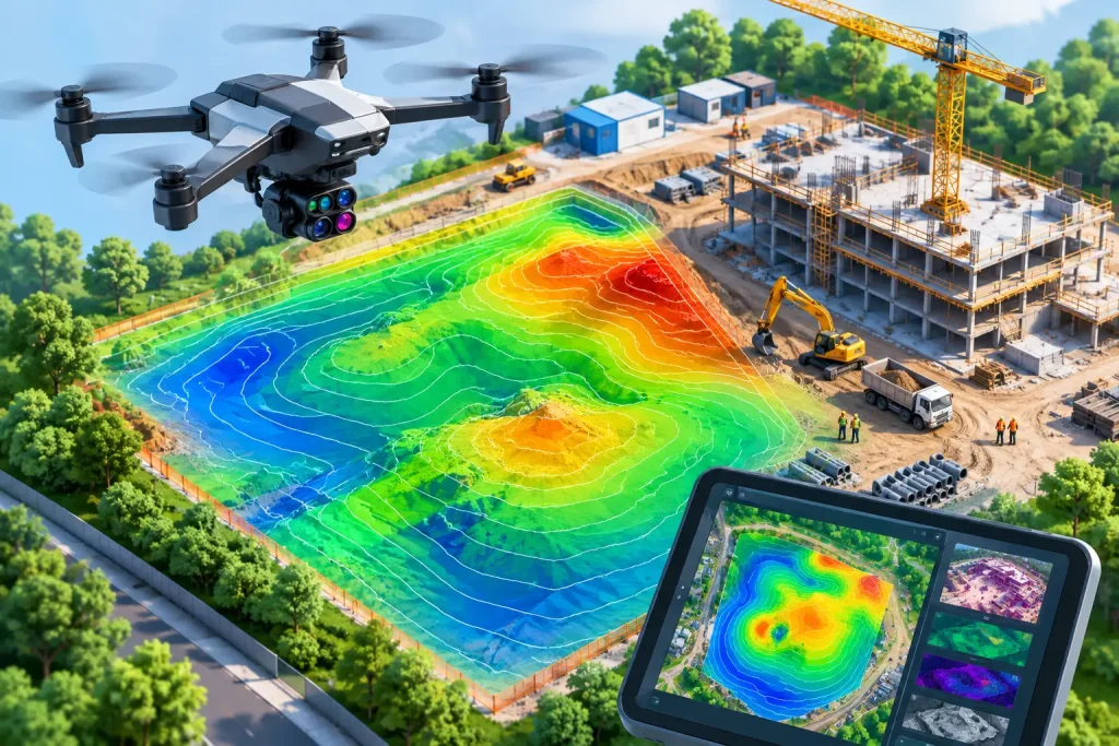
This construction site monitoring guide explains how drone surveys, progress imagery and accurate mapping improve safety, reporting, planning and control.
Best Aerial Imagery Deliverables for Golf Courses

Choose the best aerial imagery deliverables for golf courses, from orthomosaics to drainage maps, and turn survey data into practical decisions on site.
Orthomosaic Mapping vs CAD Plans Compared

Compare orthomosaic mapping vs CAD plans for golf courses and sites. See where each delivers accuracy, clarity and better project decisions on site now.
How to Measure Earthworks With Drones Accurately

Learn how to measure earthworks with drones using survey-grade mapping, control points and volumetric reporting for faster, defensible site decisions.
Aerial Inspections That Turn Images Into Action

Aerial inspections provide clear, survey-grade insight for golf courses, roofs and sites, helping UK teams plan maintenance with confidence and precision.