What GIS Services Actually Deliver

GIS services turn aerial and site data into practical maps, layers and insights that improve drainage, irrigation, planning and asset decisions.
How We Use Drone Mapping and GIS Services
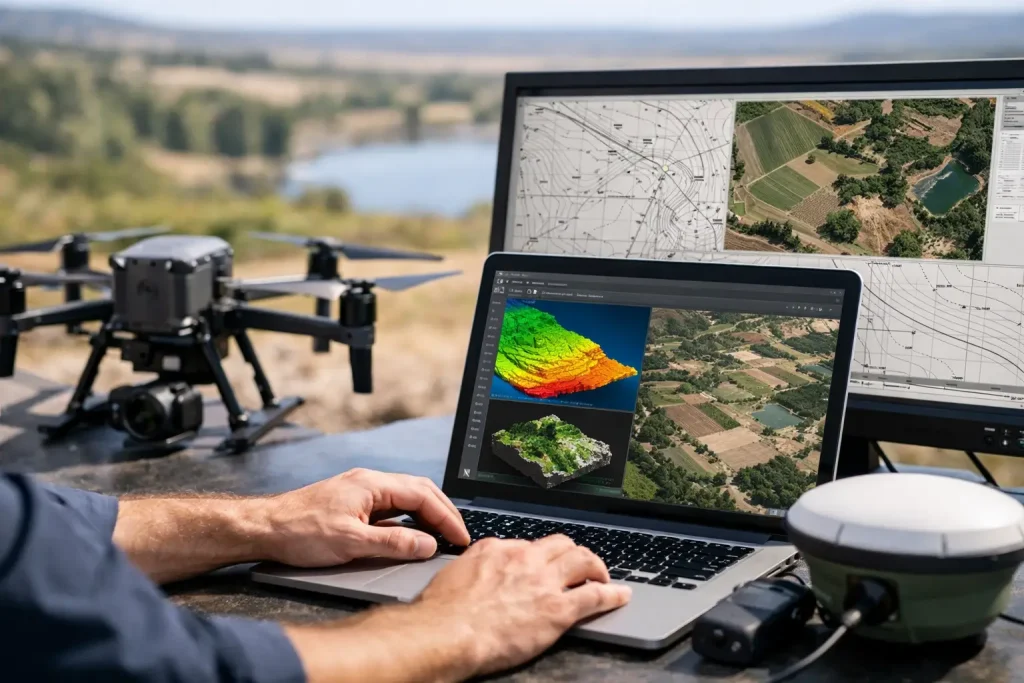
See how we use drone mapping and GIS services to deliver precise surveys, clearer asset visibility, and better land management decisions.
Aerial Mapping for Greenkeepers That Pays Off
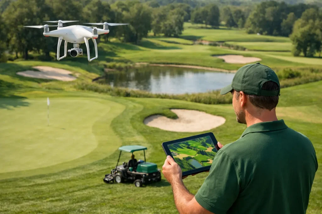
Aerial mapping for greenkeepers delivers precise, usable data for drainage, irrigation, turf health and planning across every part of the course.
Multispectral Camera for Agronomy Review
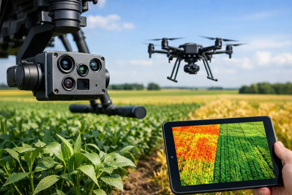
A practical multispectral camera for agronomy review covering sensors, accuracy, workflow and where the data delivers measurable value on turf.
Why Use Drones for Roof Surveys?
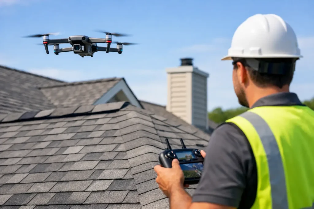
Why use drones for roof surveys? Faster access, safer inspections and high-detail imagery help commercial teams spot defects and plan repairs.
Aerial Progress Photos vs Site Walks

Aerial progress photos vs site walks – compare visibility, accuracy and reporting value to choose the right approach for construction and land projects.
Irrigation System Phased Upgrades That Work
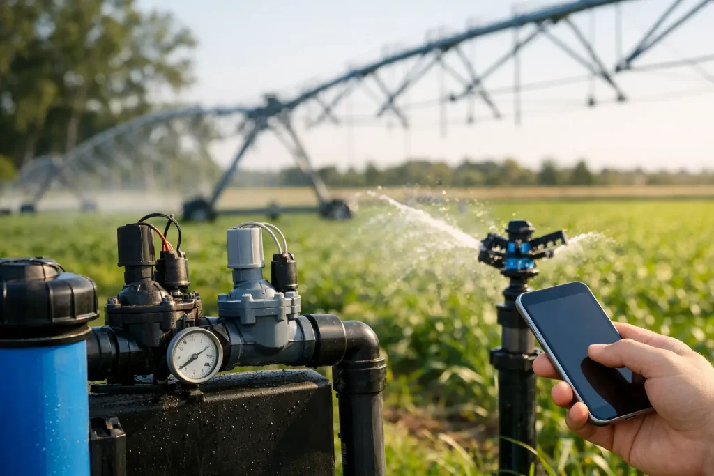
Irrigation system phased upgrades help golf courses improve reliability, control costs and use precise mapping to plan works with confidence.
Compare Construction Sites Directly to Architects Plans

Compare construction sites directly to architects plans with drone data, photogrammetry and mapping to spot errors early and keep projects on track.
Increase Crop Yields with Multispectral Monitoring
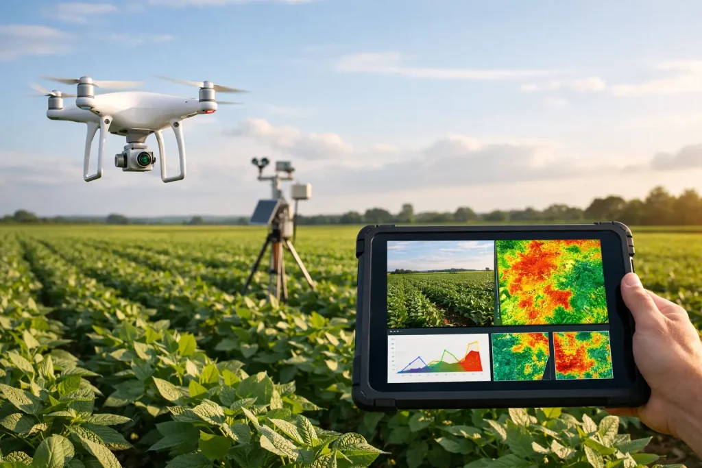
Learn how to increase crop yields with multispectral monitoring using precise aerial data to spot stress early and improve irrigation and inputs.
Construction Architect Overlays Explained

Construction architect overlays combine design intent with accurate site data, helping teams spot clashes, track progress and make faster decisions.