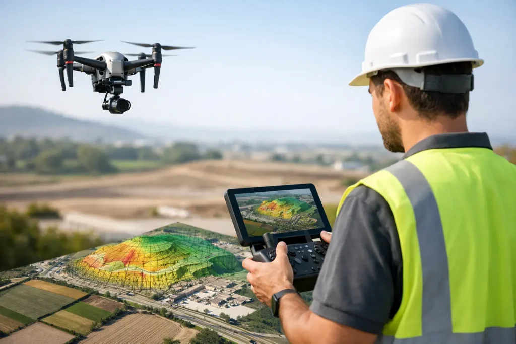
Construction Monitoring That Improves Control

Construction monitoring gives project teams clearer site visibility, faster decisions and accurate progress records through precise aerial data.
CAD Overlays for Construction Site Monitoring

CAD overlays for construction site monitoring give teams precise visual context, helping track progress, spot clashes and improve decisions.
What cm Accurate Drone Mapping Delivers
See what cm accurate drone mapping really delivers for golf courses, estates and sites – better decisions, cleaner data and measurable value.
Multispectral Crop Monitoring Benefits
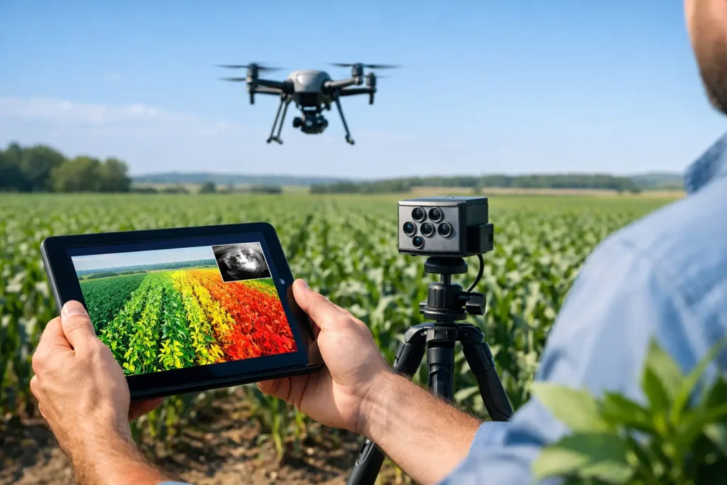
See how multispectral crop monitoring benefits turf and land managers with earlier stress detection, sharper decisions and better resource use.
7 best golf course mapping tools compared

Compare the best golf course mapping tools for surveys, drainage, irrigation and turf planning, with clear advice on accuracy, cost and fit.
Golf Course Survey Software Review
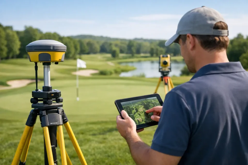
Golf course survey software review for clubs and consultants comparing accuracy, usability, mapping workflows and real operational value.
Aerial Mapping Guide for Smarter Site Decisions
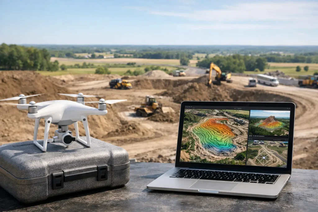
Aerial mapping guide for golf courses, estates and sites – how drone data improves planning, maintenance, drainage and asset visibility.
7 Course Condition Imagery Examples
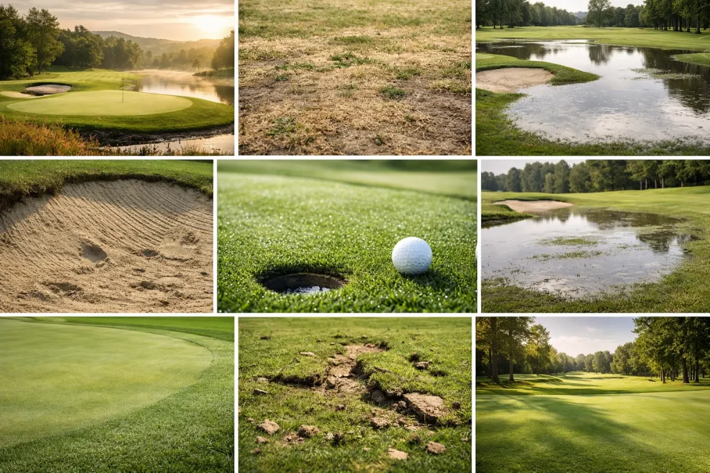
See 7 course condition imagery examples that help golf clubs spot drainage issues, turf stress and wear patterns before they affect play.
Drone Roof Inspection vs Scaffold
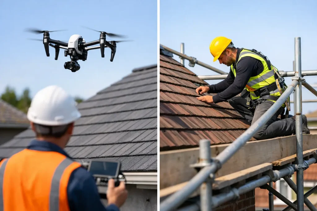
Drone roof inspection vs scaffold – compare safety, cost, speed and detail to choose the right method for commercial roof surveys and planning.
Roof Inspection Guide for Commercial Sites

A practical roof inspection guide for commercial sites, covering what to check, when to inspect, key risks, and where drone data improves decisions.