7 Course Condition Imagery Examples
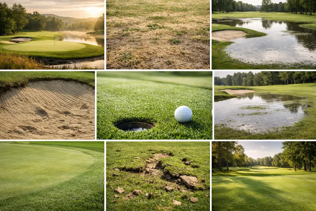
See 7 course condition imagery examples that help golf clubs spot drainage issues, turf stress and wear patterns before they affect play.
Drone Roof Inspection vs Scaffold
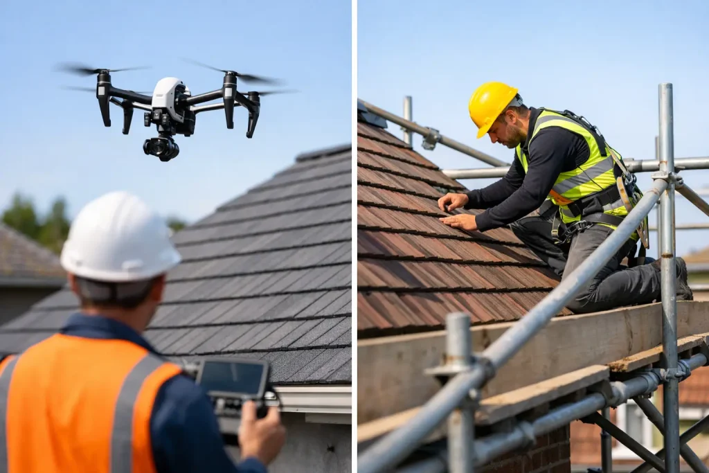
Drone roof inspection vs scaffold – compare safety, cost, speed and detail to choose the right method for commercial roof surveys and planning.
Roof Inspection Guide for Commercial Sites

A practical roof inspection guide for commercial sites, covering what to check, when to inspect, key risks, and where drone data improves decisions.
Golf Course Architect Mapping Guide
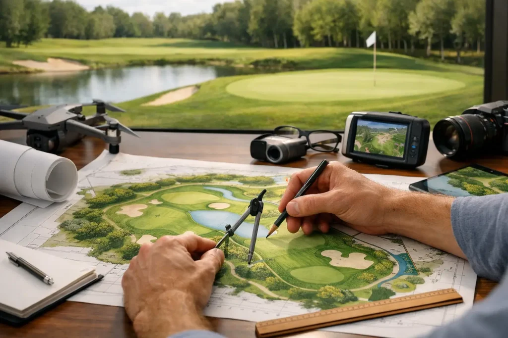
A golf course architect mapping guide for accurate surveys, smarter design decisions, drainage planning and clearer site data across every phase.
Golf Course Overlay Guide for Better Decisions
A practical golf course overlay guide for clubs and consultants using precise aerial mapping to improve irrigation, drainage and asset planning.
Construction Progress Photos Comparison That Works

Learn how construction progress photos comparison improves site visibility, reporting and decisions with accurate, repeatable aerial imagery.
Aerial Site Monitoring Guide for Better Oversight
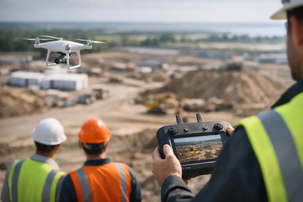
A practical aerial site monitoring guide for tracking progress, spotting issues early and turning drone data into faster, better site decisions.
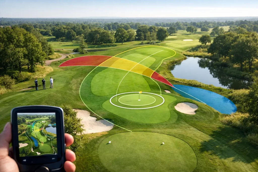
Golf Hole Distance Mapping That Works
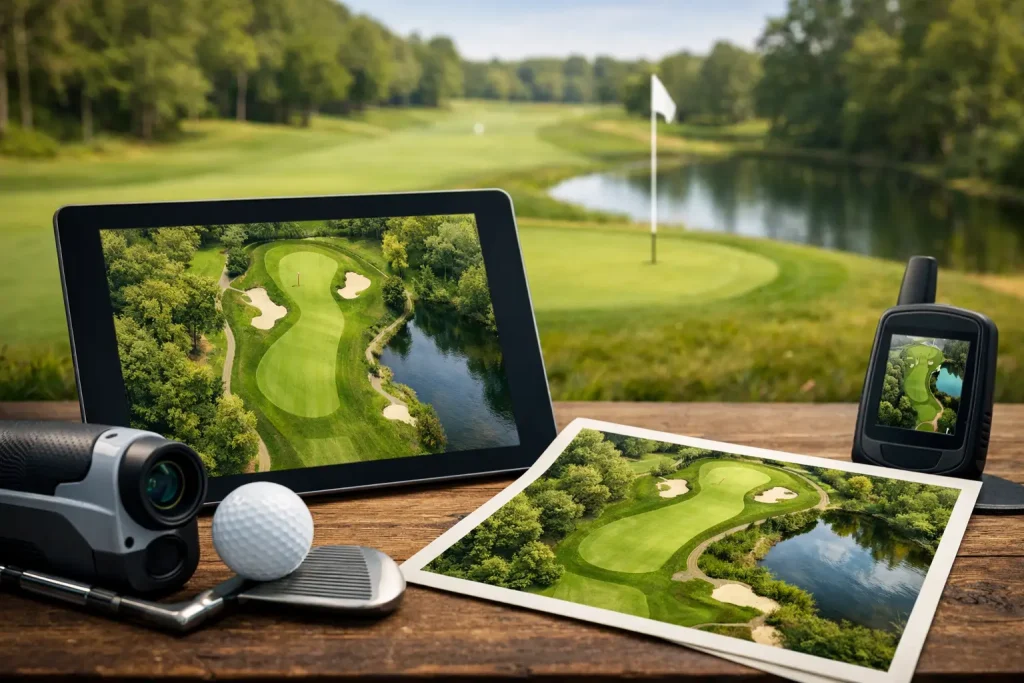
Golf hole distance mapping gives courses accurate, usable data for maintenance, irrigation and planning. See what good mapping should include.
How to Inspect Roofs With Drones Properly
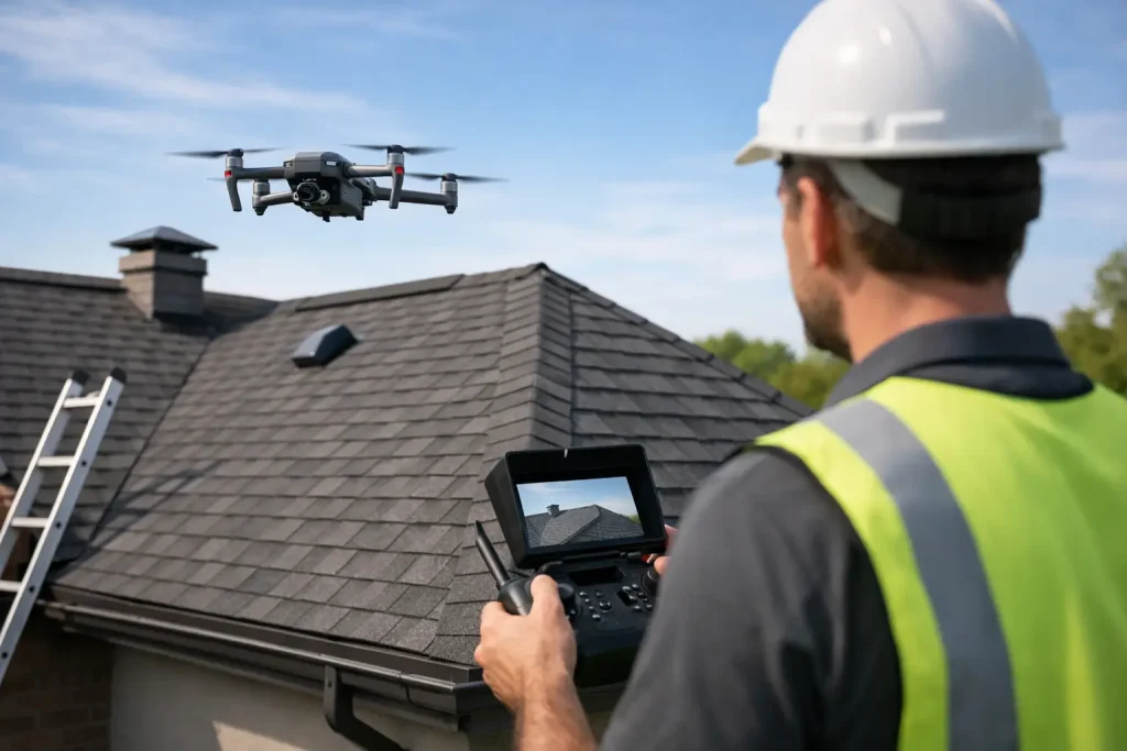
Learn how to inspect roofs with drones safely and accurately, from planning flights to spotting defects and turning imagery into practical action.
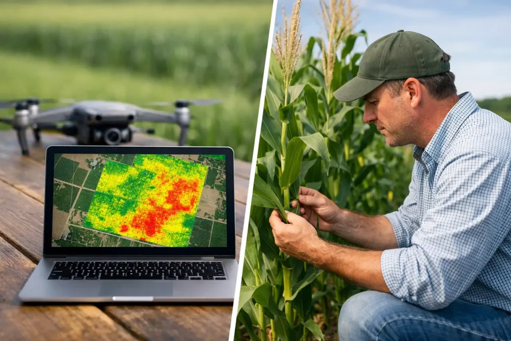
NDVI Imagery vs Visual Inspection
NDVI imagery vs visual inspection – see which method spots turf stress earlier, where each works best, and why combining both improves decisions.