How We Can Help with Water Conservation
See how we can help with water conservation on your golf course using drone mapping, irrigation insight and precise data for smarter decisions.
Golf Course Surveys That Improve Decisions

Golf course surveys give managers precise data for drainage, irrigation, design and maintenance planning with faster, survey-grade aerial insight.
Why Golf Irrigation Asset Records Matter
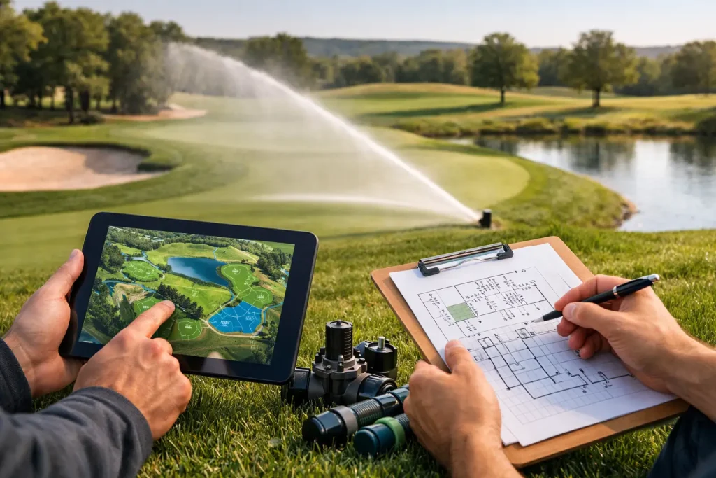
Golf irrigation asset records help clubs cut faults, plan repairs and map infrastructure accurately for faster decisions and lower risk.
8 Top Drone Survey Use Cases That Matter
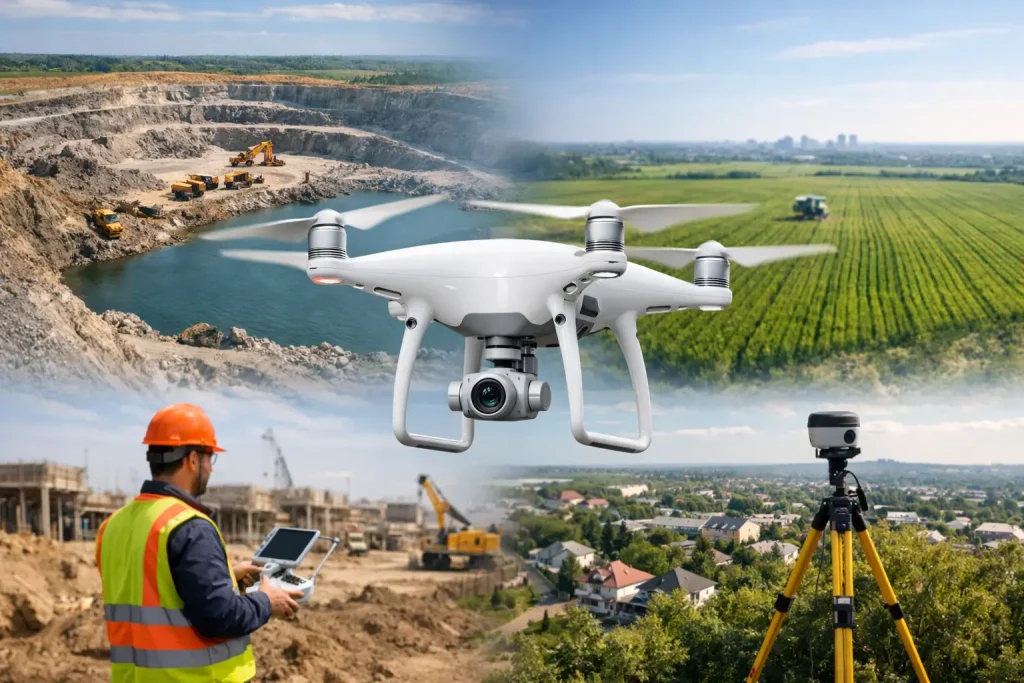
Explore top drone survey use cases for golf, construction and property. See where precise aerial data cuts cost, saves time and improves planning.
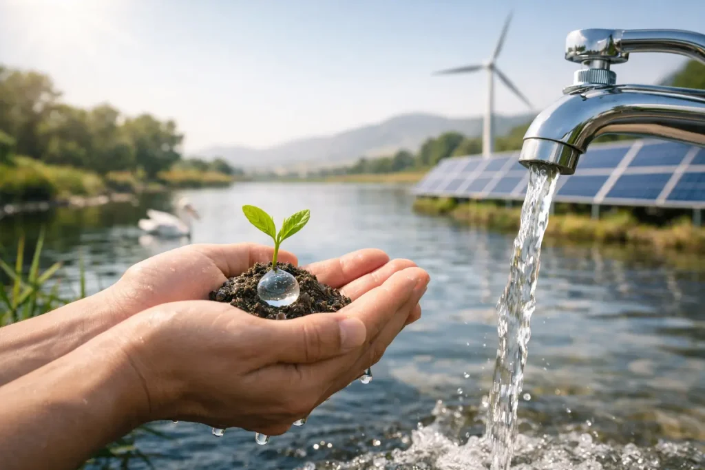
Should You Be Thinking About Collecting Water?
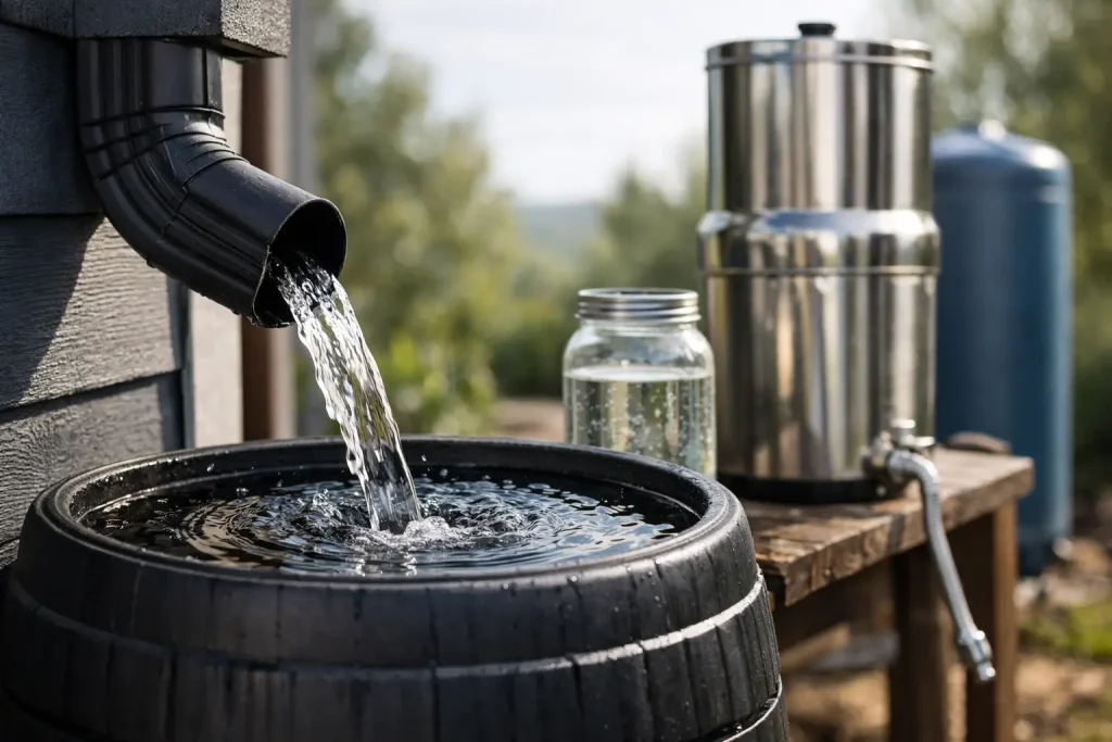
Should you be thinking about collecting water on your golf course? See when storage, drainage and mapping make financial and practical sense.
European Drone Laws 2026: What Changes?

European drone laws 2026 will affect operators, surveys and compliance. Here’s what commercial users should watch before rules shift again.
UK Drone Laws 2026 for Commercial Operators

UK drone laws 2026 will shape flight planning, compliance and commercial surveys. Here’s what operators and site managers should watch.
Benefits of Historical Imagery for Land Teams
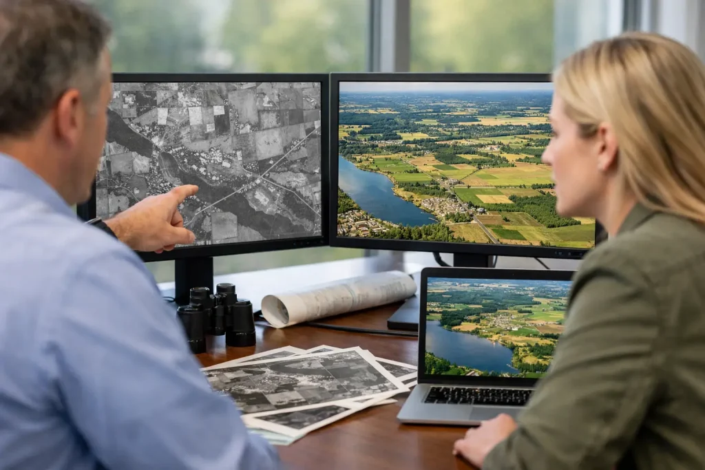
Discover the benefits of historical imagery for golf courses, estates and sites – sharper planning, clearer change tracking and better decisions.
Why Do You Need a Golf Course Drone Survey?
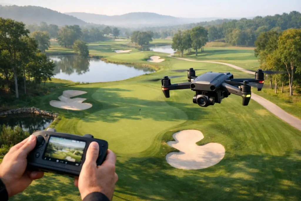
Why do you need a golf course drone survey? See how accurate aerial data improves drainage, irrigation, planning and course management.
What a Golf Course Survey Should Deliver
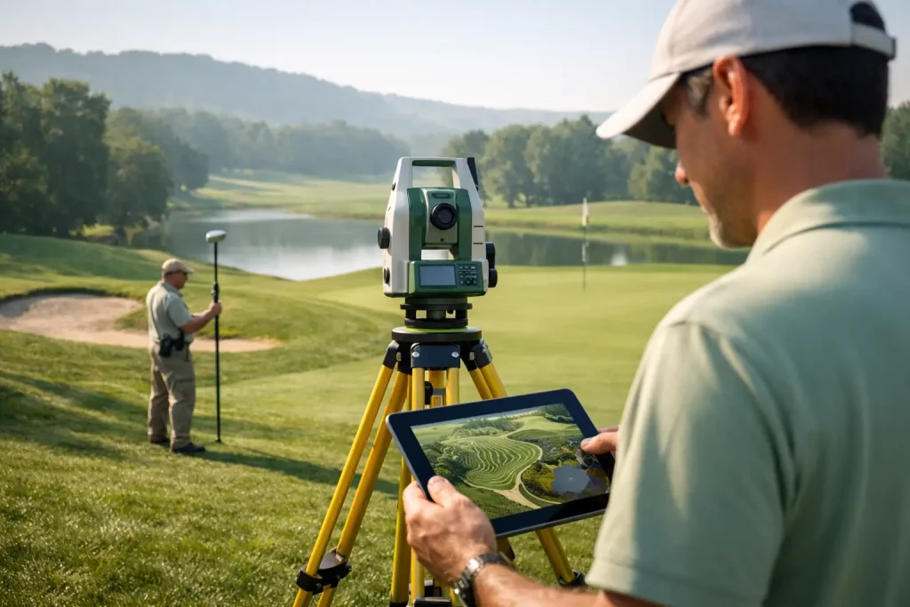
A golf course survey should do more than map land. See how accurate drone data supports drainage, irrigation, planning and course management.