What Survey Grade Drone Data Really Means
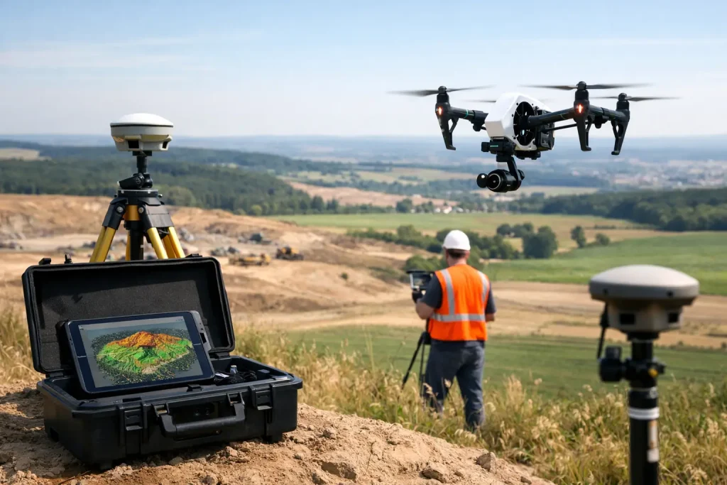
Learn what survey grade drone data means, how accuracy is achieved, and where it delivers real value for golf courses, estates and sites.
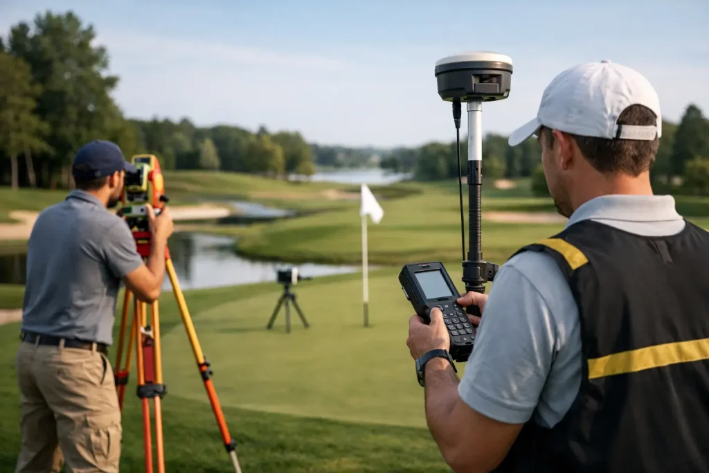
Why Use Drone Topographic Surveys?

Why use drone topographic surveys? Faster data, centimetre-level accuracy and clearer site insight for golf, construction and land management.
Golf Course Drainage Mapping Example
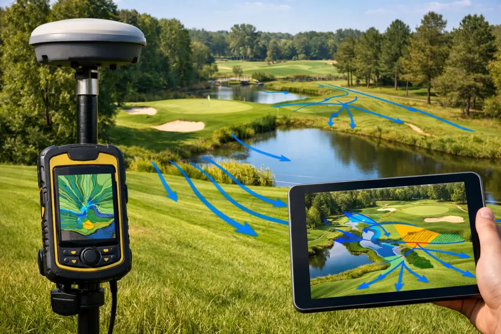
A golf course drainage mapping example showing how survey-grade drone data helps clubs locate assets, fix wet areas and plan drainage work accurately.
Greenkeeper Drone Mapping That Drives Decisions
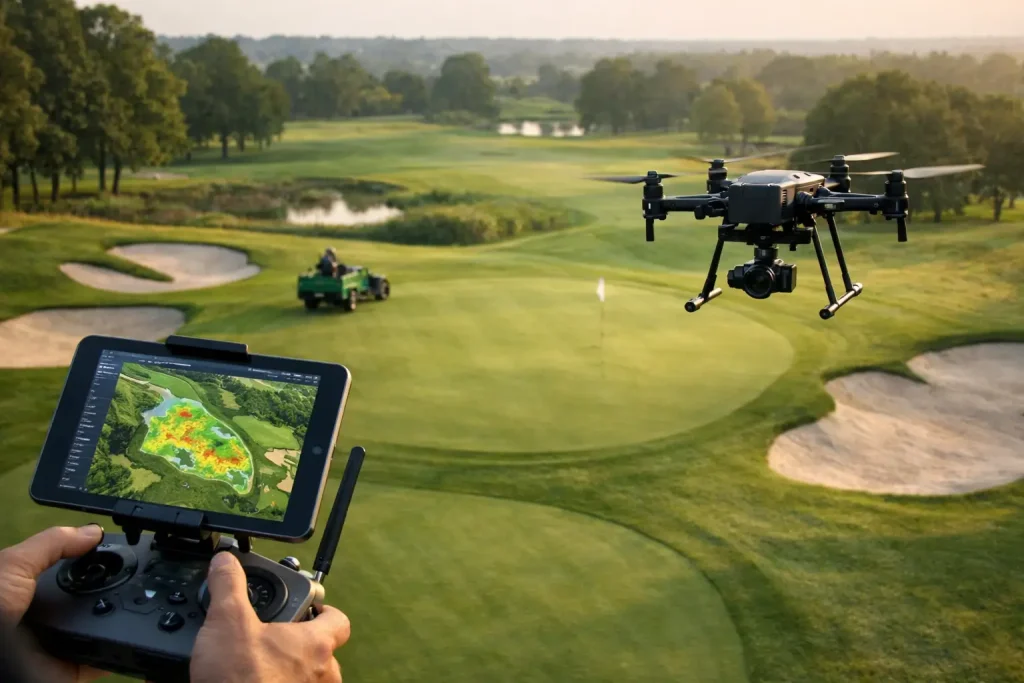
Greenkeeper drone mapping delivers precise aerial data for irrigation, drainage and turf health, helping golf courses plan smarter and act faster.
What Survey Grade Aerial Data Really Means
Learn what survey grade aerial data means, how it is produced, and why it matters for golf courses, land management and site planning.
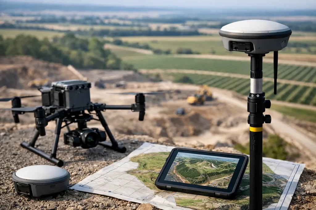
Drone Survey for Land Management

A drone survey for land management delivers precise mapping, faster site insight and practical data for drainage, irrigation and planning.
Golf Course Plant Health Analysis That Works
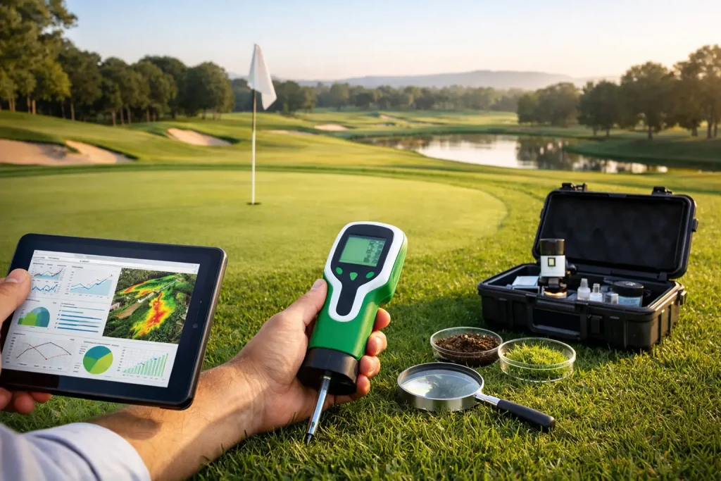
Golf course plant health analysis helps identify turf stress early, improve irrigation decisions and target maintenance with survey-grade aerial data.
Utility Overlay Mapping for Smarter Sites

Utility overlay mapping gives golf courses and commercial sites clear, accurate asset visibility for safer planning, maintenance and upgrades.
10 Benefits of Drone Surveys for Smarter Sites

Discover the benefits of drone surveys for golf courses, construction sites and estates – faster data, lower costs and sharper decisions.
Golf Course Measurement Services Explained
Golf course measurement services give clubs precise mapping for drainage, irrigation, planning and playability decisions across every part of the site.